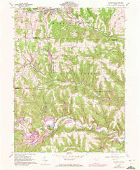
1960 Map of Salineville
USGS Topo · Published 1972About this map
Salineville and the surrounding township lands of Washington and Brush Creek reveal a landscape defined by extractive industry and the deep valleys of the Yellow Creek watershed. By the mid-20th century, the Penn Central railroad corridor through the village of Salineville anchored a region heavily modified by coal production, evidenced by numerous Strip Mine and Tipple operations. The survey captures a distinct transition where industrial footprints meet the conservation efforts of the Brush Creek Wildlife Area. Rural life is marked by high-elevation landmarks like Grants Hill and scattered spiritual centers including West Grove Ch and Chestnut Grove Ch. The presence of several family-named burial grounds, such as Russell Cem and Dorn Cem, offers a detailed spatial record for those researching the lineages of Columbiana, Carroll, and Jefferson counties.
Find a feature on this map
55 named features on this map. Tap any name to fly to it.
Don’t see what you’re looking for? This feature index may not catch every label — zoom into the map to look around manually.
Map Details
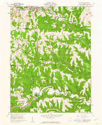
Editions of this 1960 Salineville Map
2 editions found
Other maps of this area

1901 · Cadiz
USGS Topo · 1:62,500

1903 · Cadiz
USGS Topo · 1:62,500

1904 · Wellsville
USGS Topo · 1:62,500

1904 · Steubenville
USGS Topo · 1:62,500

1905 · Salineville
USGS Topo · 1:62,500

1935 · Steubenville
USGS Topo · 1:62,500

1937 · Wellsville
USGS Topo · 1:62,500

1942 · Steubenville
USGS Topo · 1:62,500

1944 · Wellsville
USGS Topo · 1:62,500

1951 · Canton
USGS Topo · 1:250,000