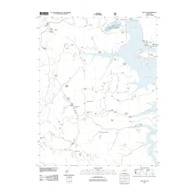
2011 Map of Salt Lick
USGS Topo · Published 2011About this map
Salt Lick and its surrounding communities are defined by the expansive waters of Cave Run Lake, which dominates the eastern half of this landscape. The transition from the rural valley of Salt Lick Creek to the recreational hub of the lake is clear, with sites like Scott Creek Marina and the Clark State Fish Hatchery highlighting the local water-based economy. For those tracing the area's industrial past, the presence of Clear Creek Furnace serves as a physical link to the region's historical iron manufacturing, while small settlements like Lower Salt Lick and White Sulpher maintain their identity along the creek branches.
Find a feature on this map
79 named features on this map. Tap any name to fly to it.
Don’t see what you’re looking for? This feature index may not catch every label — zoom into the map to look around manually.
Map Details
Editions of this 2011 Salt Lick Map
This is the sole edition of this map. No revisions or reprints were ever made.
Other maps of this area

1889 · Salyersville
USGS Topo · 1:125,000

1891 · Salyersville
USGS Topo · 1:125,000

1892 · Beattyville
USGS Topo · 1:125,000

1899 · Salyersville
USGS Topo · 1:125,000

1929 · Morehead
USGS Topo · 1:48,000

1929 · Salt Lick
USGS Topo · 1:62,500

1934 · Salt Lick
USGS Topo · 1:62,500

1935 · Morehead
USGS Topo · 1:62,500

1951 · Ezel
USGS Topo · 1:24,000

1952 · Scranton
USGS Topo · 1:24,000