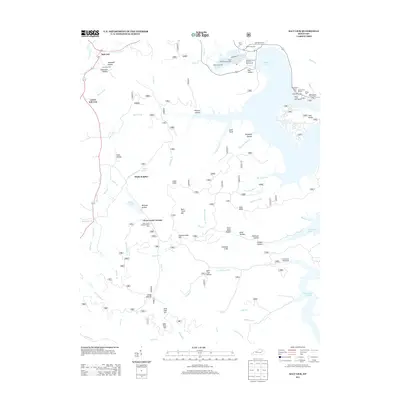
2013 Map of Salt Lick
USGS Topo · Published 2013About this map
Clear Creek Furnace stands as a prominent historical landmark in this region, marking a legacy of early industry near the Clear Creek Furnace Picnic Area. This 2013 survey illustrates the modern landscape of Bath County, where the sprawling waters of Cave Run Lake have reshaped the terrain. The map details the transition from the Licking River valley to the heights of Tater Knob and Alum Knob, showing a balance between recreational development and rural preservation. Genealogists will find numerous family-linked burial grounds, including Dickerson Cem, Martin Cem One, and Alfrey Cem. The northern area is anchored by the community of Salt Lick and the specialized Clark State Fish Hatchery. The intricate network of hollows, such as Wolfpen Hollow and Dark Cave Hollow, reflects a landscape deeply carved by tributaries like Leatherwood Cr and Salt Lick Cr.
Find a feature on this map
79 named features on this map. Tap any name to fly to it.
Don’t see what you’re looking for? This feature index may not catch every label — zoom into the map to look around manually.
Map Details
Editions of this 2013 Salt Lick Map
This is the sole edition of this map. No revisions or reprints were ever made.
Other maps of this area

1889 · Salyersville
USGS Topo · 1:125,000

1891 · Salyersville
USGS Topo · 1:125,000

1892 · Beattyville
USGS Topo · 1:125,000

1899 · Salyersville
USGS Topo · 1:125,000

1929 · Morehead
USGS Topo · 1:48,000

1929 · Salt Lick
USGS Topo · 1:62,500

1934 · Salt Lick
USGS Topo · 1:62,500

1935 · Morehead
USGS Topo · 1:62,500

1951 · Ezel
USGS Topo · 1:24,000

1952 · Scranton
USGS Topo · 1:24,000