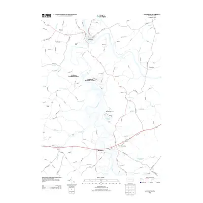
2013 Map of Saltsburg
USGS Topo · Published 2013About this map
Saltsburg and the winding course of the Conemaugh River anchor this 2013 study of the Indiana County borderlands. The landscape is defined by the convergence of major waterways, including the Loyalhanna Cr which meanders past Shieldsburg and the residential enclaves of Loyalhanna Woodlands Number 1 and Loyalhanna Woodlands Number 2. Small, historically industrial settlements like Moween and Tunnelton are situated along the valley floors, while Locust Knob provides a prominent topographic reference point north of the creek.
Find a feature on this map
121 named features on this map. Tap any name to fly to it.
Don’t see what you’re looking for? This feature index may not catch every label — zoom into the map to look around manually.
Map Details
Editions of this 2013 Saltsburg Map
This is the sole edition of this map. No revisions or reprints were ever made.
Other maps of this area

1900 · Latrobe
USGS Topo · 1:62,500

1902 · Latrobe
USGS Topo · 1:62,500

1902 · Elders Ridge
USGS Topo · 1:62,500

1903 · Latrobe
USGS Topo · 1:62,500

1904 · Elders Ridge
USGS Topo · 1:62,500

1904 · Greensburg
USGS Topo · 1:62,500

1906 · Greensburg
USGS Topo · 1:62,500

1907 · Freeport
USGS Topo · 1:62,500

1909 · Freeport
USGS Topo · 1:62,500

1953 · Pittsburgh
USGS Topo · 1:250,000
Featured Places
- White, Conemaugh Township
- Saltsburg, PA
- New Alexandria, Derry Township
- Salem Township, PA
- Derry Township, PA