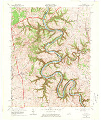
1967 Map of Salvisa
USGS Topo · Published 1969About this map
The Kentucky River carves a dramatic, winding path through this central Kentucky landscape, defining the borders between Anderson, Mercer, and Woodford counties. The late 1960s terrain is characterized by steep limestone palisades and deep drainage cuts from Gilbert Creek and Clear Creek. Settlement centers on the small communities of Salvisa and Mortonsville, with the Southern Railway corridor providing a north-south transit spine through Bondville. This survey preserves the location of numerous river-oriented landmarks, including Lock No 5 Gauging Station and several historic ferry crossings like Scotts Ferry Road and Mc Cowans Ferry Road, which once served as vital links before the modernization of the road network. Genealogists will find a high concentration of family-named burial sites, such as Gray Cem and Allen Cem, often situated on the high ground overlooking the river's entrenched meanders.
Find a feature on this map
40 named features on this map. Tap any name to fly to it.
Don’t see what you’re looking for? This feature index may not catch every label — zoom into the map to look around manually.
Map Details
Editions of this 1967 Salvisa Map
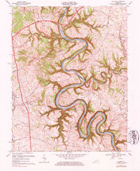
2 editions found
Other maps of this area

1905 · Harrodsburg
USGS Topo · 1:125,000

1906 · Georgetown
USGS Topo · 1:62,500

1908 · Georgetown
USGS Topo · 1:62,500

1922 · Frankfort
USGS Topo · 1:48,000

1924 · Frankfort
USGS Topo · 1:62,500

1951 · Lawrenceburg
USGS Topo · 1:24,000

1952 · Keene
USGS Topo · 1:24,000

1952 · Harrodsburg
USGS Topo · 1:24,000

1952 · Cornishville
USGS Topo · 1:24,000

1952 · Salvisa
USGS Topo · 1:24,000