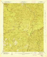
1946 Map of Sam Knob
USGS Topo · Published 1947About this map
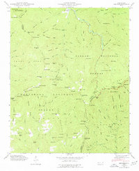
Nantahala National Forest and Pisgah National Forest converge in this mid-century topographic study, which captures a high-elevation landscape of the Blue Ridge Mountains. The terrain is defined by dramatic peaks and balds, including the towering Richland Balsam and Sam Knob. Small human markers are scattered across the wilderness, such as the Charley Creek Sch and the newly developing Blue Ridge Parkway winding along the ridgelines near Devils Courthouse.
Find a feature on this map
147 named features on this map. Tap any name to fly to it.
Don’t see what you’re looking for? This feature index may not catch every label — zoom into the map to look around manually.
Map Details
Editions of this 1946 Sam Knob Map
7 editions found
Other maps of this area

1891 · Cowee
USGS Topo · 1:125,000

1897 · Cowee
USGS Topo · 1:125,000

1905 · Pisgah
USGS Topo · 1:125,000

1906 · Pisgah
USGS Topo · 1:125,000

1907 · Cowee
USGS Topo · 1:125,000

1935 · Cruso
USGS Topo · 1:24,000

1935 · Waynesville
USGS Topo · 1:24,000

1935 · Sam Knob
USGS Topo · 1:24,000

1935 · Rosman
USGS Topo · 1:24,000

1935 · Tuckaseigee
USGS Topo · 1:24,000