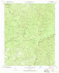
1946 Map of Sam Knob
USGS Topo · Published 1970About this map
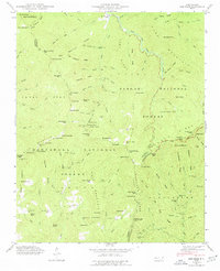
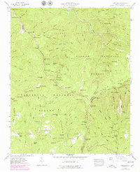
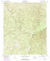
Pisgah National Forest and Nantahala National Forest converge in this high-altitude 1946 survey, centered on the tri-county junction of Haywood, Jackson, and Transylvania. The landscape is defined by the headwaters of the West Fork Pigeon River and East Fork Pigeon River, where numerous branches like Shining Rock Creek and Laurel Creek carve deep through the massive ridges. Human activity is sparse and concentrated along these watercourses, evidenced by the Charley Creek Sch in the southern reaches of the quadrangle. High-elevation landmarks like Richland Balsam and Sam Knob dominate the topography. The emerging Blue Ridge Parkway traces the crests, signaling a shift from a landscape of remote mountain gaps like Beartrail Ridge Gap and Deep Gap toward one of recreational and scenic preservation in the post-war era.
Find a feature on this map
120 named features on this map. Tap any name to fly to it.
Don’t see what you’re looking for? This feature index may not catch every label — zoom into the map to look around manually.
Map Details
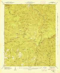
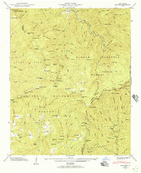
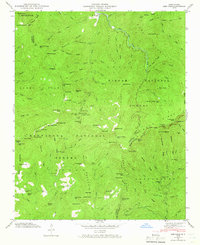
Editions of this 1946 Sam Knob Map
7 editions found
Other maps of this area

1891 · Cowee
USGS Topo · 1:125,000

1897 · Cowee
USGS Topo · 1:125,000

1905 · Pisgah
USGS Topo · 1:125,000

1906 · Pisgah
USGS Topo · 1:125,000

1907 · Cowee
USGS Topo · 1:125,000

1935 · Cruso
USGS Topo · 1:24,000

1935 · Waynesville
USGS Topo · 1:24,000

1935 · Sam Knob
USGS Topo · 1:24,000

1935 · Rosman
USGS Topo · 1:24,000

1935 · Tuckaseigee
USGS Topo · 1:24,000