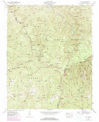
1946 Map of Sam Knob
USGS Topo · Published 1979About this map
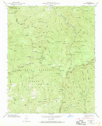
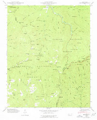
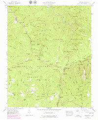
The Blue Ridge Parkway meanders through this high-altitude landscape, tracing the complex drainage divides of the southern Appalachians where the Pisgah National Forest and Nantahala National Forest meet. This terrain is defined by its prominent balds and gaps, serving as a critical watershed for the West Fork Pigeon River and the headwaters of the French Broad River. The map highlights a series of named knobs and gaps, such as Richland Balsam and Haywood Gap, that mark the boundaries between Haywood, Jackson, and Transylvania counties.
Find a feature on this map
72 named features on this map. Tap any name to fly to it.
Don’t see what you’re looking for? This feature index may not catch every label — zoom into the map to look around manually.
Map Details
Editions of this 1946 Sam Knob Map
7 editions found
Other maps of this area

1891 · Cowee
USGS Topo · 1:125,000

1897 · Cowee
USGS Topo · 1:125,000

1905 · Pisgah
USGS Topo · 1:125,000

1906 · Pisgah
USGS Topo · 1:125,000

1907 · Cowee
USGS Topo · 1:125,000

1935 · Cruso
USGS Topo · 1:24,000

1935 · Waynesville
USGS Topo · 1:24,000

1935 · Sam Knob
USGS Topo · 1:24,000

1935 · Rosman
USGS Topo · 1:24,000

1935 · Tuckaseigee
USGS Topo · 1:24,000