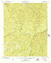
1946 Map of Sam Knob
USGS Topo · Published 1957About this map
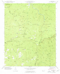
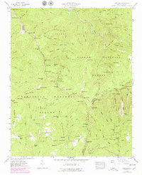
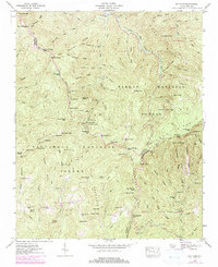
The high ridges of the Blue Ridge Mountains converge at the intersection of Jackson, Haywood, and Transylvania counties, where the Nantahala National Forest meets the Pisgah National Forest. This 1946 field examination captures the landscape as the Blue Ridge Parkway was being established along the drainage divides, winding past prominent peaks like Richland Balsam and Devils Courthouse. The terrain is defined by a dense network of high-elevation gaps and knobs, including Richland Gap, Beartrail Ridge Gap, and Horsebone Gap, which served as critical passage points through the steep topography of the Balsam Mountains.
Find a feature on this map
136 named features on this map. Tap any name to fly to it.
Don’t see what you’re looking for? This feature index may not catch every label — zoom into the map to look around manually.
Map Details
Editions of this 1946 Sam Knob Map
7 editions found
Other maps of this area

1891 · Cowee
USGS Topo · 1:125,000

1897 · Cowee
USGS Topo · 1:125,000

1905 · Pisgah
USGS Topo · 1:125,000

1906 · Pisgah
USGS Topo · 1:125,000

1907 · Cowee
USGS Topo · 1:125,000

1935 · Cruso
USGS Topo · 1:24,000

1935 · Waynesville
USGS Topo · 1:24,000

1935 · Sam Knob
USGS Topo · 1:24,000

1935 · Rosman
USGS Topo · 1:24,000

1935 · Tuckaseigee
USGS Topo · 1:24,000