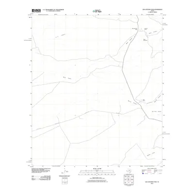
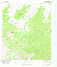
2010 Map of San Antonio Pass
USGS Topo · Published 2010About this map
San Antonio Pass dominates this section of Presidio County, marking a high point between the branching drainages of the Trans-Pecos. The 2010 landscape is defined by large-scale ranching operations and a complex network of seasonal watercourses. Large landholdings like Gearhart Ranch and Kelly Ranch anchor the local geography, with private infrastructure such as Gearhart Ranch Rd and Kelly Ranch Rd providing essential access through the high-desert terrain.
Find a feature on this map
12 named features on this map. Tap any name to fly to it.
Don’t see what you’re looking for? This feature index may not catch every label — zoom into the map to look around manually.
Map Details
Editions of this 2010 San Antonio Pass Map
This is the sole edition of this map. No revisions or reprints were ever made.
Other maps of this area

1894 · Valentine
USGS Topo · 1:125,000

1895 · Marfa
USGS Topo · 1:125,000

1897 · Valentine
USGS Topo · 1:125,000

1943 · Valentine
USGS Topo · 1:125,000

1959 · Marfa
USGS Topo · 1:250,000

1965 · Marfa
USGS Topo · 1:250,000
1978 · Valentine East
USGS Topo · 1:24,000
1978 · Paradise Mountain
USGS Topo · 1:24,000
1978 · El Muerto Peak
USGS Topo · 1:24,000
1978 · Mount Livermore
USGS Topo · 1:24,000