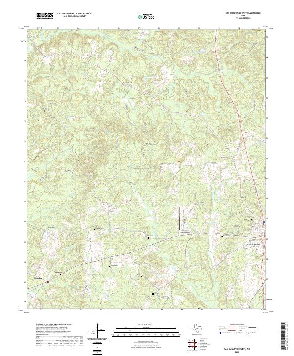
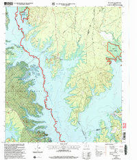
2022 Map of San Augustine West
USGS Topo · Published 2022About this map
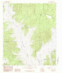
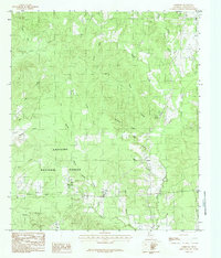
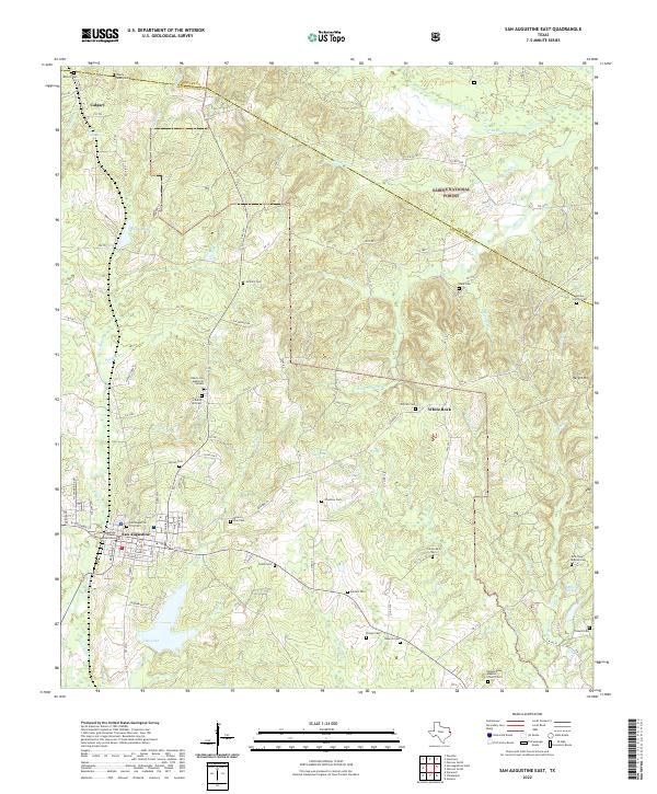
San Augustine and the outlying community of Denning define the southern landscape of this East Texas quadrangle. The terrain is a network of ridges and drainages including Big Iron Ore Cr and Venado Cr, which feed into local landmarks like Highland Pond and Cattail Pond. Transportation is centered around the intersection of FM 711 and various rural roads, supporting the San Augustine County Airport located north of the city center.
Find a feature on this map
86 named features on this map. Tap any name to fly to it.
Don’t see what you’re looking for? This feature index may not catch every label — zoom into the map to look around manually.
Map Details
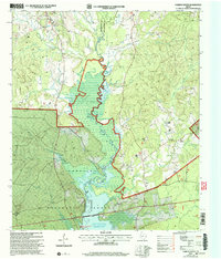
Editions of this 2022 San Augustine West Map
This is the sole edition of this map. No revisions or reprints were ever made.
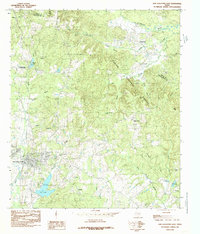
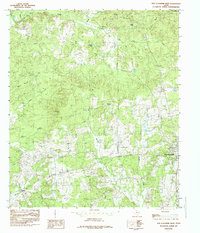
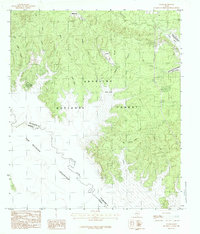
Historical Maps of Union Through Time
28 maps found
1958 Bronson
San Augustine County, TX
1958 Mc Gee Bend
San Augustine County, TX
1984 Bronson
San Augustine County, TX
1984 Buck Bay
San Augustine County, TX
1984 Chinquapin
San Augustine County, TX
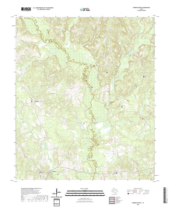
1984 Chireno North
San Augustine County, TX
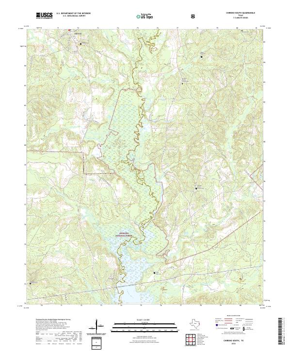
1984 Chireno South
San Augustine County, TX

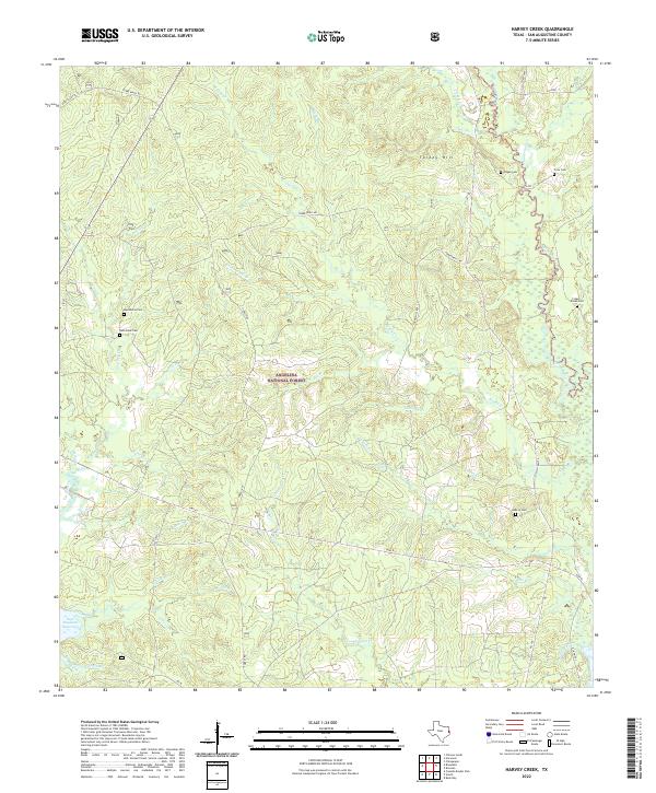
1984 Harvey Creek
San Augustine County, TX
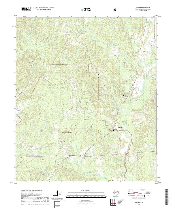
1984 Norwood
San Augustine County, TX
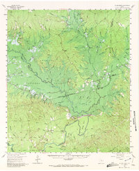
1984 San Augustine East
San Augustine County, TX
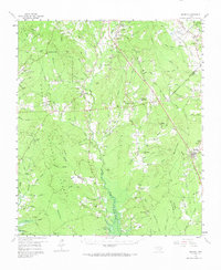
1984 San Augustine West
San Augustine County, TX
1984 Veach
San Augustine County, TX
2003 Buck Bay
San Augustine County, TX
2003 Chireno South
San Augustine County, TX
2003 Harvey Creek
San Augustine County, TX
2003 Norwood
San Augustine County, TX
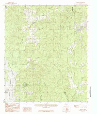
2003 San Augustine East
San Augustine County, TX

2003 Veach
San Augustine County, TX
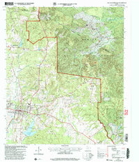
2022 Bronson
San Augustine County, TX
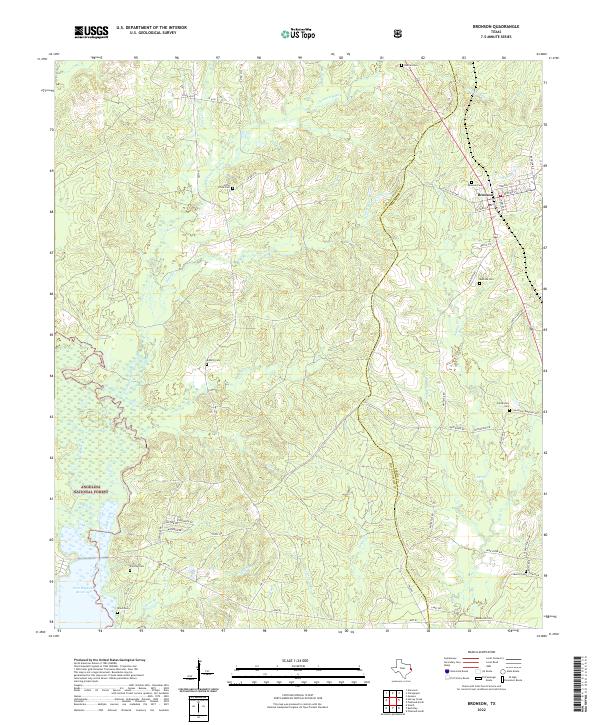
2022 Buck Bay
San Augustine County, TX
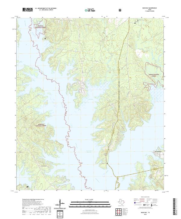
2022 Chinquapin
San Augustine County, TX
2022 Chireno North
San Augustine County, TX
2022 Chireno South
San Augustine County, TX
2022 Harvey Creek
San Augustine County, TX
2022 Norwood
San Augustine County, TX
2022 San Augustine East
San Augustine County, TX
2022 San Augustine West
San Augustine County, TX
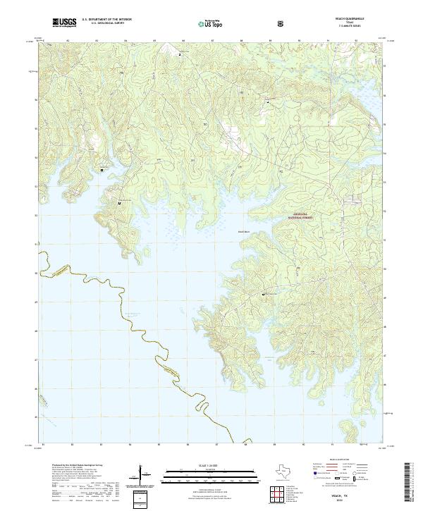
2022 Veach
San Augustine County, TX