
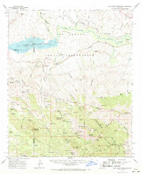
1962 Map of San Carlos Reservoir
USGS Topo · Published 1963About this map
San Carlos Reservoir dominates this high-desert landscape in the early 1960s, a critical water resource bounded by the San Carlos Indian Reservation and Coronado National Forest. The map captures a transitional era for the region, where legacy mining operations like the Starlight Mine and Copper Reef Mine sit among an intricate network of desert water sources, including the curious Post Office Spring and Little Elderberry Spring.
Find a feature on this map
112 named features on this map. Tap any name to fly to it.
Don’t see what you’re looking for? This feature index may not catch every label — zoom into the map to look around manually.
Map Details
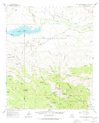
Editions of this 1962 San Carlos Reservoir Map
3 editions found
Other maps of this area

1911 · Winkelman
USGS Topo · 1:125,000

1913 · Winkelman
USGS Topo · 1:125,000

1915 · Christmas
USGS Topo · 1:62,500

1917 · Christmas
USGS Topo · 1:62,500

1938 · Klondyke
USGS Topo · 1:48,000

1943 · Klondyke
USGS Topo · 1:62,500

1944 · Jackson Mtn.
USGS Topo · 1:62,500

1946 · Jackson Mtn.
USGS Topo · 1:62,500

1949 · Holy Joe Peak
USGS Topo · 1:62,500

1949 · Brandenburg Mtn
USGS Topo · 1:24,000