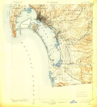
1904 Map of San Diego
USGS Topo · Published 1908About this map
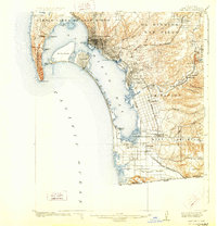
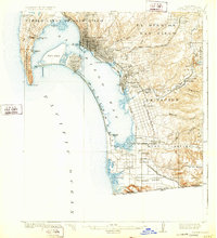
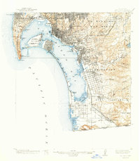
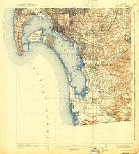
San Diego and its natural harbor dominate this 1902 survey, which captures the burgeoning coastal communities of Southern California at a time when rail travel defined local geography. The grid of the central city stretches toward Las Choyas Valley, while a complex network of railways, including the National City and Otay R. R. and the Southern California R. R., connects the waterfront to inland agricultural areas like the Sweetwater Valley.
Find a feature on this map
57 named features on this map. Tap any name to fly to it.
Don’t see what you’re looking for? This feature index may not catch every label — zoom into the map to look around manually.
Map Details
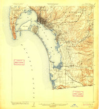
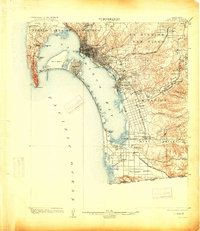
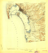
Editions of this 1904 San Diego Map
9 editions found
Other maps of this area

1893 · El Cajon
USGS Topo · 1:62,500

1901 · Elcajon
USGS Topo · 1:62,500

1903 · Cuyamaca
USGS Topo · 1:125,000

1903 · La Jolla
USGS Topo · 1:62,500

1903 · Elcajon
USGS Topo · 1:62,500

1904 · San Diego
USGS Topo · 1:62,500

1904 · Southern California Sheet No. 2
USGS Topo · 1:250,000

1930 · La Jolla
USGS Topo · 1:62,500

1930 · San Diego
USGS Topo · 1:62,500

1939 · El Cajon
USGS Topo · 1:62,500