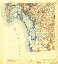
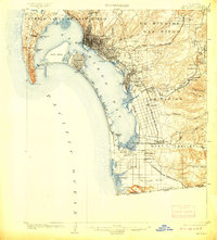
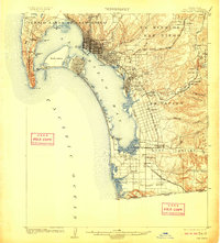
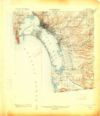
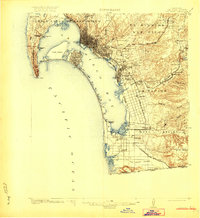
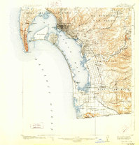
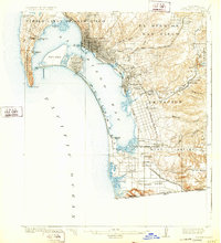
1904 Map of San Diego
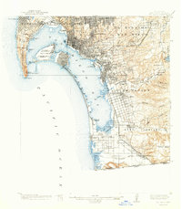
USGS Topo · Published 1941About this map
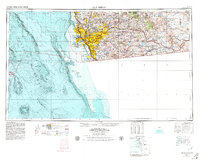
San Diego and its sprawling waterfront are captured here during a pivotal era of naval and aviation expansion between the world wars. The map details a landscape being reshaped by military necessity, showing the prominent U.S. Naval Air Station on North Island and the neighboring Rockwell Field, alongside the early footprint of Lindbergh Airport. From the heights of Point Loma near the Cabrillo National Monument to the international boundary at San Ysidro, the map traces the deep integration of the city with San Diego Bay. To the east, the rural character of the region is preserved in labels for the Ex Mission San Diego lands and the agricultural valleys of Sunnyside and Bonita. Transportation networks are dominated by the San Diego and Arizona Lines, which connect the coastal settlements of National City and Chula Vista to the interior foothills and the border with Baja California.
Find a feature on this map
63 named features on this map. Tap any name to fly to it.
Don’t see what you’re looking for? This feature index may not catch every label — zoom into the map to look around manually.
Map Details
Editions of this 1904 San Diego Map
9 editions found

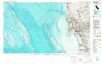
Historical Maps of Chula Vista Through Time
7 maps found