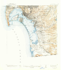
1904 Map of San Diego
USGS Topo · Published 1941About this map
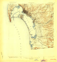
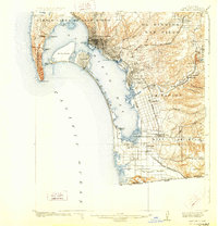
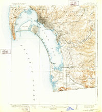
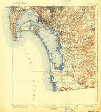
San Diego Bay dominates this coastal survey, serving as the focal point for a region rapidly expanding its maritime and aviation infrastructure. The map reveals a significant military footprint, with the U.S. Naval Air Station and U.S. Naval Training Station establishing the city's identity as a Pacific naval hub. Early aviation history is prominently marked at Lindbergh Airport and Rockwell Field on North Island, while the urban grid of San Diego begins to spill into the canyons and valleys to the east.
Find a feature on this map
63 named features on this map. Tap any name to fly to it.
Don’t see what you’re looking for? This feature index may not catch every label — zoom into the map to look around manually.
Map Details
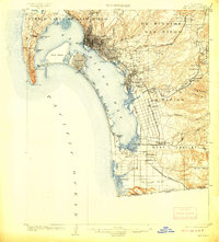
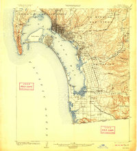
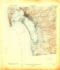
Editions of this 1904 San Diego Map
9 editions found
Other maps of this area

1893 · El Cajon
USGS Topo · 1:62,500

1901 · Elcajon
USGS Topo · 1:62,500

1903 · Cuyamaca
USGS Topo · 1:125,000

1903 · La Jolla
USGS Topo · 1:62,500

1903 · Elcajon
USGS Topo · 1:62,500

1904 · San Diego
USGS Topo · 1:62,500

1904 · Southern California Sheet No. 2
USGS Topo · 1:250,000

1930 · La Jolla
USGS Topo · 1:62,500

1930 · San Diego
USGS Topo · 1:62,500

1939 · El Cajon
USGS Topo · 1:62,500