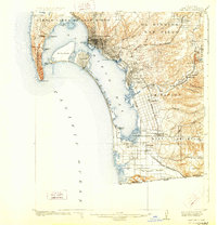
1904 Map of San Diego
USGS Topo · Published 1928About this map
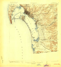
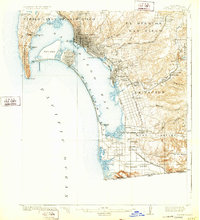
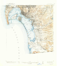
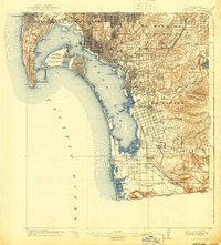
San Diego at the turn of the twentieth century remains largely concentrated around the harbor, with a street grid that quickly gives way to the open mesas and ranchos of the surrounding hills. This survey shows the early transit-oriented development of the South Bay, where lines like the National City and Otay R.R. and San Diego and Southeastern R.R. connected established citrus-growing areas like Chula Vista and National City to the urban core. To the west, Coronado and North Island appear before the extensive dredging and landfill of the mid-century transformed the harbor.
Find a feature on this map
63 named features on this map. Tap any name to fly to it.
Don’t see what you’re looking for? This feature index may not catch every label — zoom into the map to look around manually.
Map Details
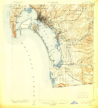
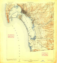
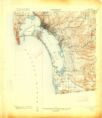
Editions of this 1904 San Diego Map
9 editions found
Other maps of this area

1893 · El Cajon
USGS Topo · 1:62,500

1901 · Elcajon
USGS Topo · 1:62,500

1903 · Cuyamaca
USGS Topo · 1:125,000

1903 · La Jolla
USGS Topo · 1:62,500

1903 · Elcajon
USGS Topo · 1:62,500

1904 · San Diego
USGS Topo · 1:62,500

1904 · Southern California Sheet No. 2
USGS Topo · 1:250,000

1930 · La Jolla
USGS Topo · 1:62,500

1930 · San Diego
USGS Topo · 1:62,500

1939 · El Cajon
USGS Topo · 1:62,500