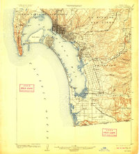
1904 Map of San Diego
USGS Topo · Published 1911About this map
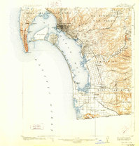
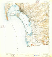
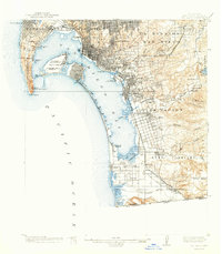
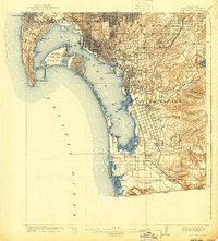
San Diego sits at the heart of this coastal survey, revealing a landscape defined by the curving sweep of San Diego Bay and the thin, protective strand of the Coronado Peninsula. The map documents the early urban grid of the city alongside developing satellite towns like National City, Chulavista, and the seaside resort atmosphere of Coronado. To the north and east, the Pueblo Lands of San Diego and Ex Mission San Diego represent the legal remnants of the region's Spanish and Mexican heritage.
Find a feature on this map
59 named features on this map. Tap any name to fly to it.
Don’t see what you’re looking for? This feature index may not catch every label — zoom into the map to look around manually.
Map Details
Editions of this 1904 San Diego Map
9 editions found
Other maps of this area

1893 · El Cajon
USGS Topo · 1:62,500

1901 · Elcajon
USGS Topo · 1:62,500

1903 · Cuyamaca
USGS Topo · 1:125,000

1903 · La Jolla
USGS Topo · 1:62,500

1903 · Elcajon
USGS Topo · 1:62,500

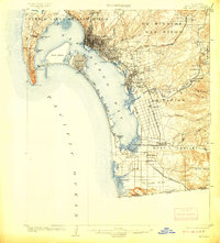
1904 · San Diego
USGS Topo · 1:62,500

1904 · Southern California Sheet No. 2
USGS Topo · 1:250,000

1930 · La Jolla
USGS Topo · 1:62,500

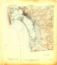
1930 · San Diego
USGS Topo · 1:62,500

1939 · El Cajon
USGS Topo · 1:62,500