
1904 Map of San Diego
USGS Topo · Published 1904About this map
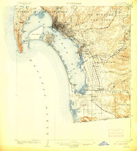
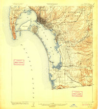
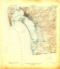
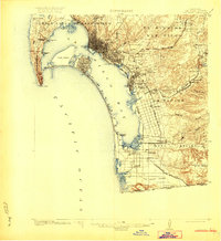
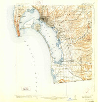
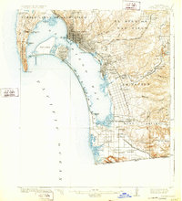
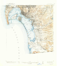
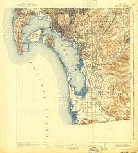
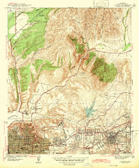
The San Diego Bay dominates this coastal landscape, showing the city and its surrounding ranchos at a time of significant transition. The downtown grid of San Diego is densely plotted near the water, while the silver strand leads south from the resort community of Coronado toward the Tia Juana River and the international border. Military presence is firmly established at Ft. Rosecrans on the southern tip of Point Loma, protecting the entrance to the harbor near the Quarantine Station.
Find a feature on this map
62 named features on this map. Tap any name to fly to it.
Don’t see what you’re looking for? This feature index may not catch every label — zoom into the map to look around manually.
Map Details
Editions of this 1904 San Diego Map
9 editions found
Other maps of this area

1893 · El Cajon
USGS Topo · 1:62,500

1901 · Elcajon
USGS Topo · 1:62,500

1903 · Cuyamaca
USGS Topo · 1:125,000

1903 · La Jolla
USGS Topo · 1:62,500

1903 · Elcajon
USGS Topo · 1:62,500

1904 · Southern California Sheet No. 2
USGS Topo · 1:250,000

1930 · La Jolla
USGS Topo · 1:62,500

1930 · San Diego
USGS Topo · 1:62,500

1939 · El Cajon
USGS Topo · 1:62,500
1942 · La Mesa
USGS Topo · 1:31,680