
1899 Map of San Francisco
USGS Topo · Published 1899About this map
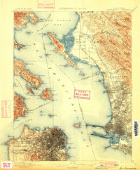
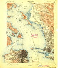
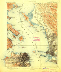
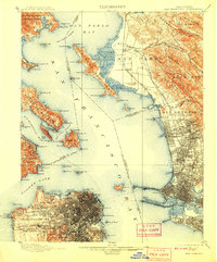
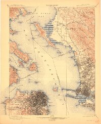
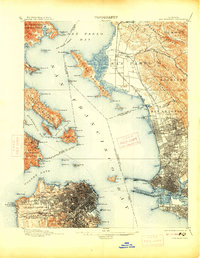
San Francisco Bay and the surrounding urban centers are captured here in the final years of the nineteenth century, showing the dense development of the city alongside the academic growth of the University of California in Berkeley. The map illustrates a landscape defined by its strategic military and maritime positions, from the Presidio and Fort Mason near the Golden Gate to the intricate network of piers and railroads on the East Bay shore. Of particular interest to genealogists and local historians is the depiction of the Lone Mt. Cem. and other burial grounds in the city before many were relocated. The shoreline is still deeply natural in places, featuring the Shell Mound in the Emery area and extensive tidal flats near the Oakland Mole. Rail infrastructure, including the North Pacific Coast R. R. and the S. P. R. R. Narrow Gauge, ties the various landings and nascent settlements like Stege and Cerrito to the central harbor.
Find a feature on this map
121 named features on this map. Tap any name to fly to it.
Don’t see what you’re looking for? This feature index may not catch every label — zoom into the map to look around manually.
Map Details
Editions of this 1899 San Francisco Map
7 editions found
Other maps of this area

1892 · San Mateo
USGS Topo · 1:62,500

1895 · San Francisco
USGS Topo · 1:62,500

1896 · San Mateo
USGS Topo · 1:62,500

1896 · Carquinez Strait
USGS Topo · 1:62,500

1897 · Concord
USGS Topo · 1:62,500

1897 · Tamalpais
USGS Topo · 1:62,500

1898 · Karquines
USGS Topo · 1:62,500

1899 · Haywards
USGS Topo · 1:62,500

1899 · San Mateo
USGS Topo · 1:62,500

1901 · Karquines
USGS Topo · 1:62,500