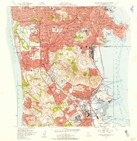
1956 Map of San Francisco South
USGS Topo · Published 1958About this map
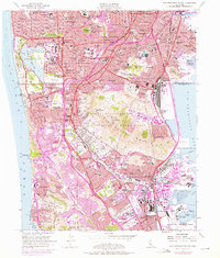
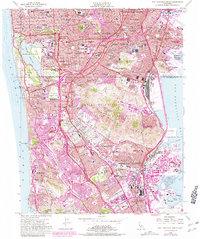
Colma and the southern reaches of the San Francisco City and County boundary define this landscape in the mid-1950s. The region is characterized by a high concentration of memorial parks and burial grounds, including the Italian Cemetery, Serbian Cem, and Chinese Cemetery, reflecting the area's specialized land use near the Southern Pacific line. The urbanization of the Sunset District and Bayshore contrasts with the massive industrial and military footprints of the Naval Reservation at Hunters Point and the evolving San Francisco International Airport.
Find a feature on this map
162 named features on this map. Tap any name to fly to it.
Don’t see what you’re looking for? This feature index may not catch every label — zoom into the map to look around manually.
Map Details
Editions of this 1956 San Francisco South Map
6 editions found
Other maps of this area

1892 · San Mateo
USGS Topo · 1:62,500

1895 · San Francisco
USGS Topo · 1:62,500

1896 · San Mateo
USGS Topo · 1:62,500

1897 · Tamalpais
USGS Topo · 1:62,500

1899 · San Francisco
USGS Topo · 1:62,500

1899 · San Mateo
USGS Topo · 1:62,500

1915 · San Mateo
USGS Topo · 1:62,500

1915 · San Francisco
USGS Topo · 1:62,500

1939 · San Mateo
USGS Topo · 1:62,500

1941 · Tamalpais
USGS Topo · 1:62,500