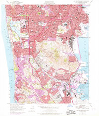
1956 Map of San Francisco South
USGS Topo · Published 1969About this map
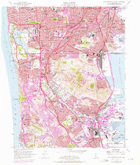
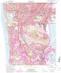
The San Andreas Rift Zone marks the western edge of this 1956 landscape, where the urban density of the Sunset District and Ingleside gives way to the coastal bluffs of Mussel Rock and Thornton Beach State Park. The map captures a period of intense postwar expansion, notably the southward development of Daly City and the emergence of residential clusters like Pacific Manor and Milagra Valley. A remarkable concentration of memorial sites dominates the center of the sheet, including the Holy Cross Cemetery, Woodlawn Cemetery, and the Golden Gate National Cemetery, reflecting the historical relocation of burial grounds from the city center to the outskirts of Colma. Infrastructure of the mid-century era is prominently displayed, from the expanding San Francisco International Airport to the newly established Candlestick Point STADIUM along the South Basin.
Find a feature on this map
137 named features on this map. Tap any name to fly to it.
Don’t see what you’re looking for? This feature index may not catch every label — zoom into the map to look around manually.
Map Details
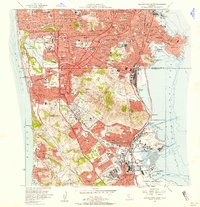
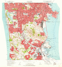
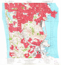
Editions of this 1956 San Francisco South Map
6 editions found
Other maps of this area

1892 · San Mateo
USGS Topo · 1:62,500

1895 · San Francisco
USGS Topo · 1:62,500

1896 · San Mateo
USGS Topo · 1:62,500

1897 · Tamalpais
USGS Topo · 1:62,500

1899 · San Francisco
USGS Topo · 1:62,500

1899 · San Mateo
USGS Topo · 1:62,500

1915 · San Mateo
USGS Topo · 1:62,500

1915 · San Francisco
USGS Topo · 1:62,500

1939 · San Mateo
USGS Topo · 1:62,500

1941 · Tamalpais
USGS Topo · 1:62,500