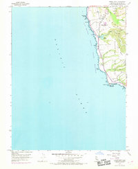
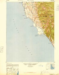
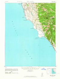
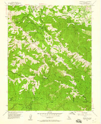
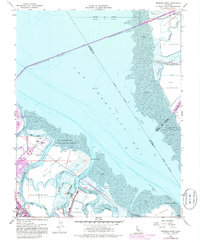
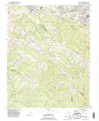
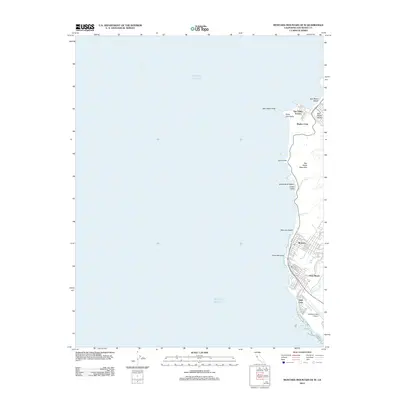
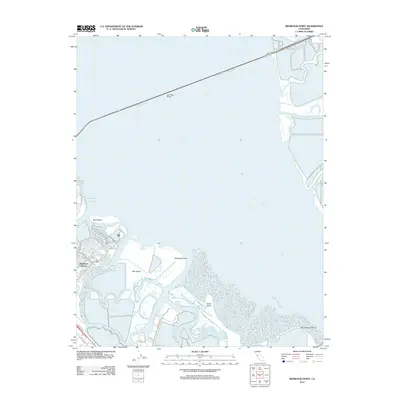
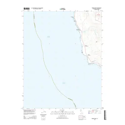
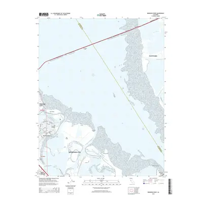
1955 Map of Pigeon Point
USGS Topo · Published 1969About this map
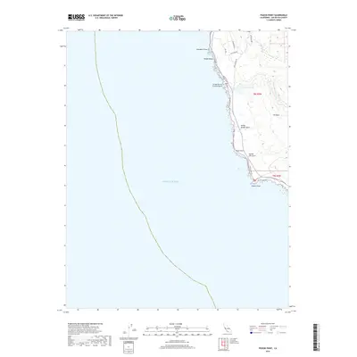
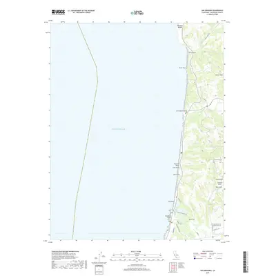
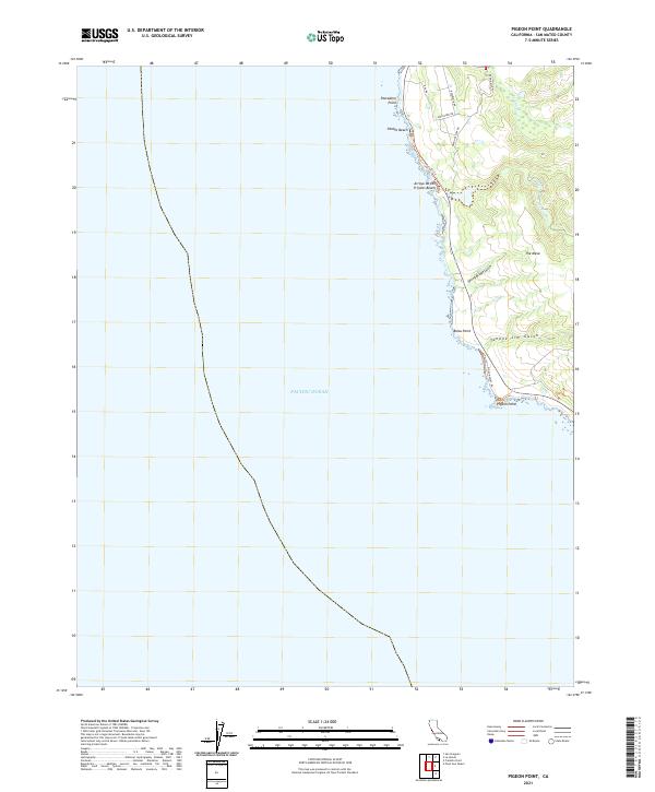
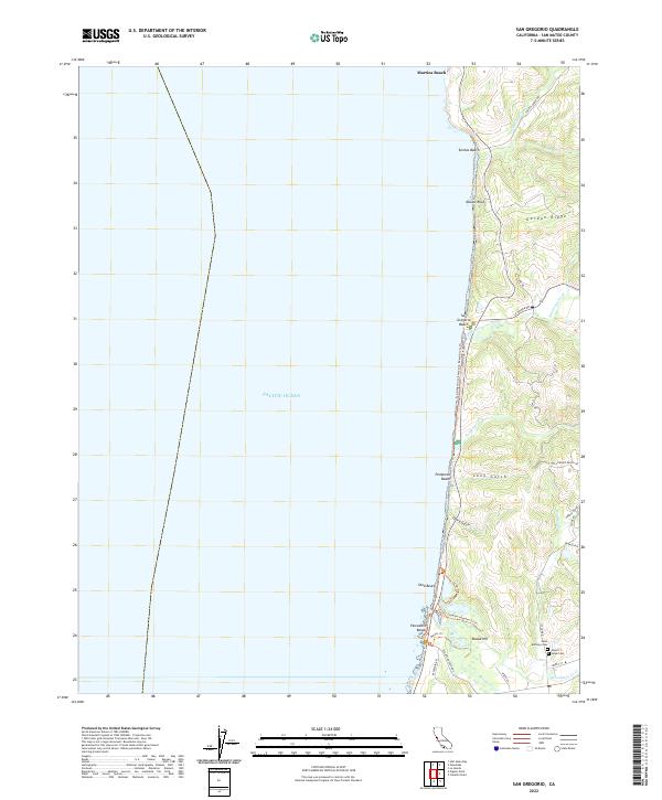
Pigeon Point Light Station stands as the primary landmark on this mid-century coastal survey, marking the jagged interface between the Pacific Ocean and the San Mateo shoreline. The landscape is defined by its maritime and navigational infrastructure, notably the Pescadero High Power Homing Station and a series of reservoirs that supported local water needs. North of the lighthouse, the terrain rises into the broad Butano Mesa and the coastal terraces of Punta Del Año Nuevo, cut by seasonal drainages like Yankee Jim Gulch and Spring Bridge Gulch. Coastal recreation and access are highlighted by the San Mateo Coast State Beaches, while the interior shows evidence of local industry at a quarry near Lake Lucerne. The 1968 aerial revisions captured on this sheet provide a clear look at the early development of State Route 1 and the surrounding government reservations before extensive modern conservation efforts.
Find a feature on this map
24 named features on this map. Tap any name to fly to it.
Don’t see what you’re looking for? This feature index may not catch every label — zoom into the map to look around manually.
Map Details
Editions of this 1955 Pigeon Point Map
3 editions found
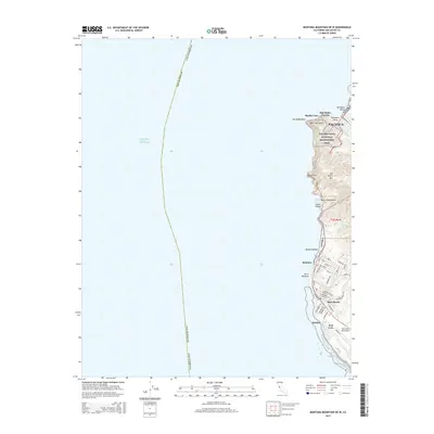
Historical Maps of San Mateo County Through Time
68 maps found

1940 Ano Nuevo
San Mateo County, CA
1940 Halfmoon Bay
San Mateo County, CA

1941 Ano Nuevo Pt.
San Mateo County, CA
1942 Ano Nuevo
San Mateo County, CA

1943 Halfmoon Bay
San Mateo County, CA

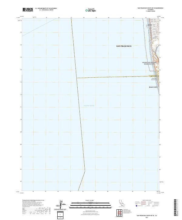
1947 San Francisco South
San Mateo County, CA
1948 Ano Nuevo
San Mateo County, CA

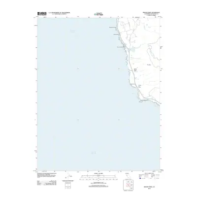
1948 Redwood Point
San Mateo County, CA
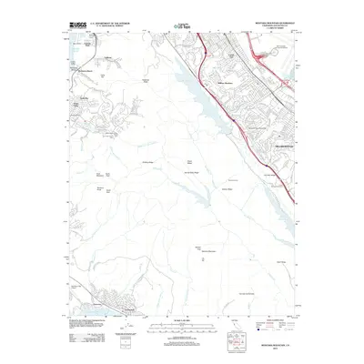
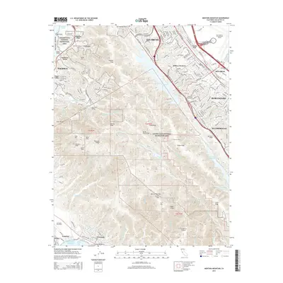
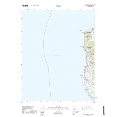
1949 Montara Mountain
San Mateo County, CA

1950 San Francisco South
San Mateo County, CA
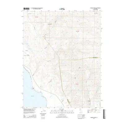
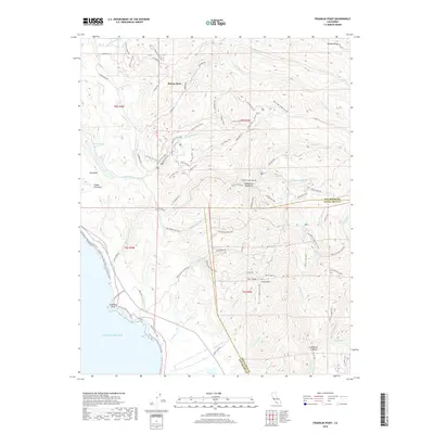
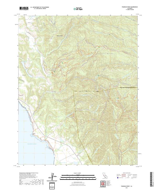
1955 Franklin Point
San Mateo County, CA
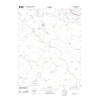
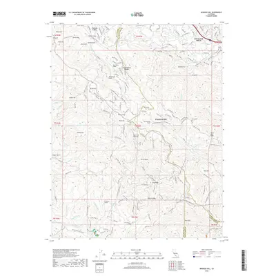
1955 Mindego Hill
San Mateo County, CA
1955 Pigeon Point
San Mateo County, CA
1955 San Gregorio
San Mateo County, CA
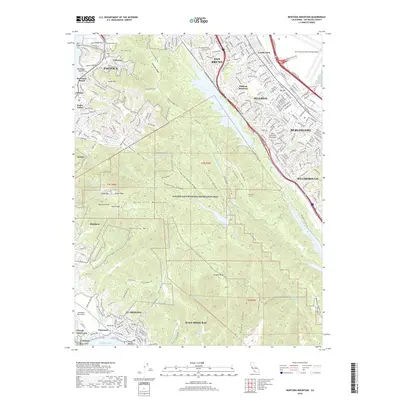
1956 Montara Mountain
San Mateo County, CA
1956 San Francisco South
San Mateo County, CA
1959 Redwood Point
San Mateo County, CA
1961 Mindego Hill
San Mateo County, CA
1961 San Gregorio
San Mateo County, CA
1991 Franklin Point
San Mateo County, CA
1991 Mindego Hill
San Mateo County, CA
1991 Pigeon Point
San Mateo County, CA

1991 San Gregorio
San Mateo County, CA

1993 Montara Mountain
San Mateo County, CA

1993 Redwood Point
San Mateo County, CA

1993 San Francisco South
San Mateo County, CA

1995 San Francisco South
San Mateo County, CA

1997 Mindego Hill
San Mateo County, CA

1997 Montara Mountain
San Mateo County, CA

1997 San Gregorio
San Mateo County, CA

1998 Franklin Point
San Mateo County, CA
1998 Pigeon Point
San Mateo County, CA
2012 Franklin Point
San Mateo County, CA
2012 Mindego Hill
San Mateo County, CA
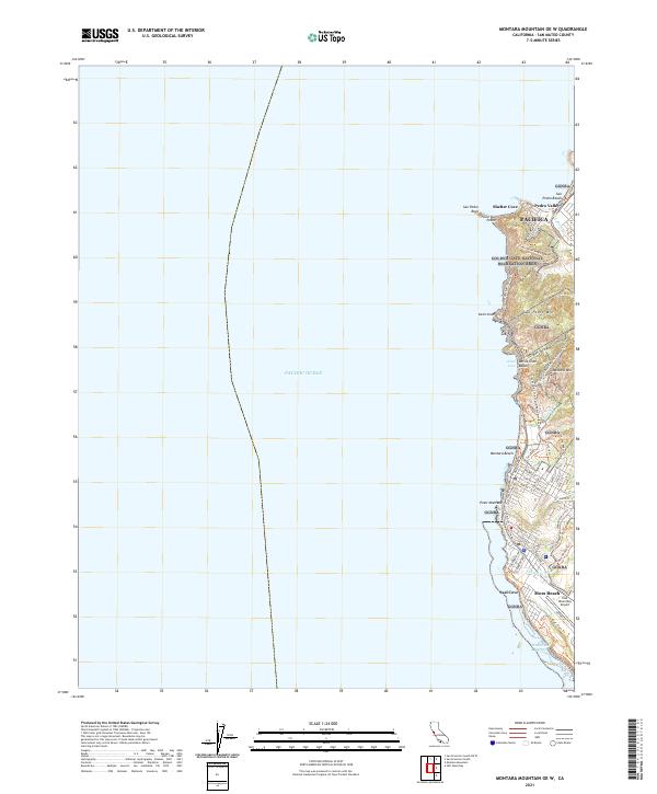
2012 Montara Mountain OE W
San Mateo County, CA
2012 Montara Mountain
San Mateo County, CA
2012 Pigeon Point
San Mateo County, CA
2012 Redwood Point
San Mateo County, CA
2012 San Francisco South OE W
San Mateo County, CA
2012 San Francisco South
San Mateo County, CA
2012 San Gregorio
San Mateo County, CA
2015 Franklin Point
San Mateo County, CA

2015 Mindego Hill
San Mateo County, CA
2015 Montara Mountain OE W
San Mateo County, CA
2015 Montara Mountain
San Mateo County, CA
2015 Pigeon Point
San Mateo County, CA
2015 Redwood Point
San Mateo County, CA
2015 San Francisco South OE W
San Mateo County, CA
2015 San Francisco South
San Mateo County, CA
2015 San Gregorio
San Mateo County, CA
2018 Franklin Point
San Mateo County, CA
2018 Mindego Hill
San Mateo County, CA
2018 Montara Mountain OE W
San Mateo County, CA
2018 Montara Mountain
San Mateo County, CA
2018 Pigeon Point
San Mateo County, CA
2018 Redwood Point
San Mateo County, CA
2018 San Francisco South OE W
San Mateo County, CA
2018 San Francisco South
San Mateo County, CA
2018 San Gregorio
San Mateo County, CA
2021 Franklin Point
San Mateo County, CA
2021 Montara Mountain OE W
San Mateo County, CA
2021 Pigeon Point
San Mateo County, CA
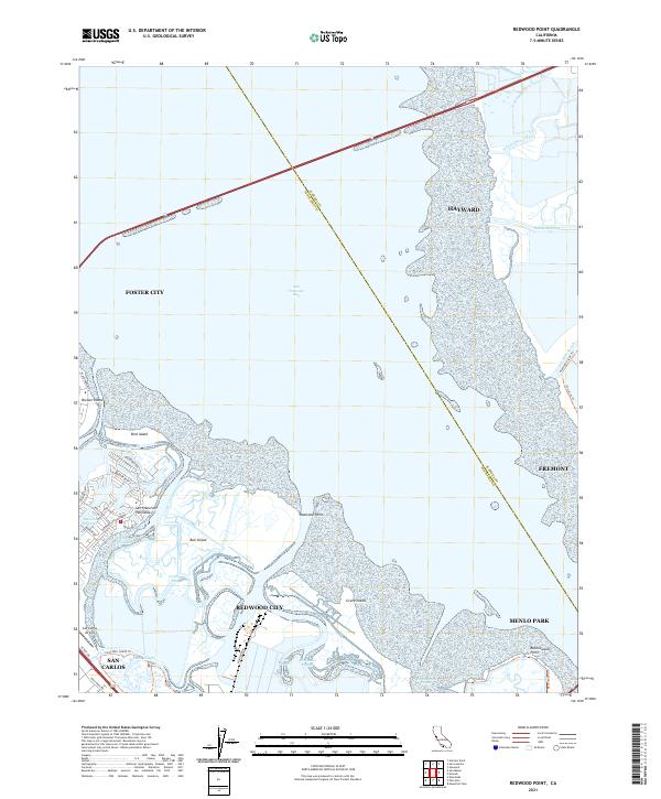
2021 Redwood Point
San Mateo County, CA
2021 San Francisco South OE W
San Mateo County, CA

2021 San Francisco South
San Mateo County, CA
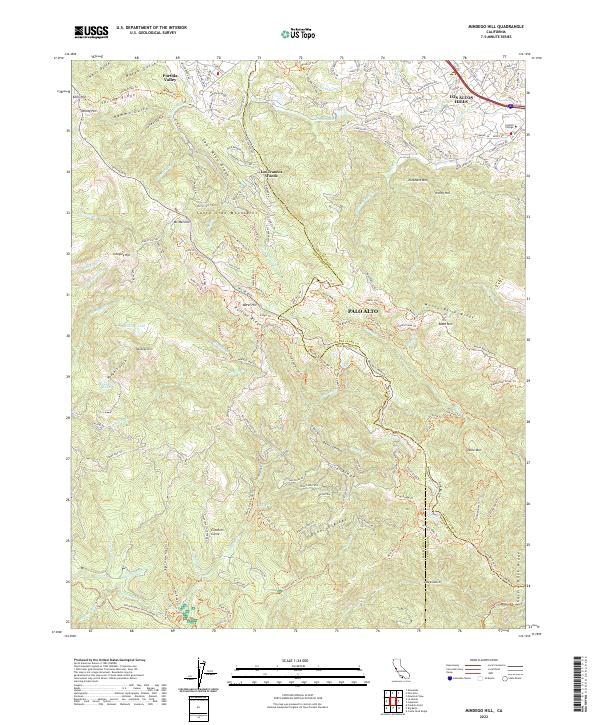
2022 Mindego Hill
San Mateo County, CA
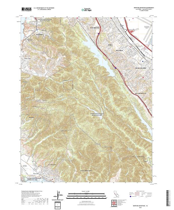
2022 Montara Mountain
San Mateo County, CA
2022 San Gregorio
San Mateo County, CA