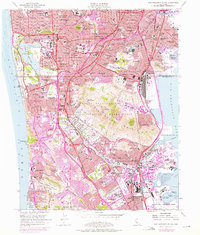
1956 Map of San Francisco South
USGS Topo · Published 1975About this map
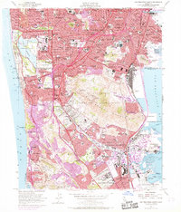
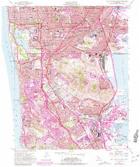
Holy Cross Cemetery and Cypress Lawn Memorial Park form a significant necropolis within Colma, highlighting the unique cluster of memorial sites south of the city. The landscape transitions from the urban density of the Sunset District and Ingleside toward the industrial waterfronts of Bayshore and South San Francisco. This era captures the expansion of infrastructure, including the Bayshore Freeway and the San Francisco International Airport as they integrated with established transit lines like the Southern Pacific railroad.
Find a feature on this map
126 named features on this map. Tap any name to fly to it.
Don’t see what you’re looking for? This feature index may not catch every label — zoom into the map to look around manually.
Map Details
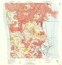
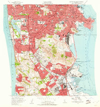
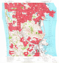
Editions of this 1956 San Francisco South Map
6 editions found
Other maps of this area

1892 · San Mateo
USGS Topo · 1:62,500

1895 · San Francisco
USGS Topo · 1:62,500

1896 · San Mateo
USGS Topo · 1:62,500

1897 · Tamalpais
USGS Topo · 1:62,500

1899 · San Francisco
USGS Topo · 1:62,500

1899 · San Mateo
USGS Topo · 1:62,500

1915 · San Mateo
USGS Topo · 1:62,500

1915 · San Francisco
USGS Topo · 1:62,500

1939 · San Mateo
USGS Topo · 1:62,500

1941 · Tamalpais
USGS Topo · 1:62,500