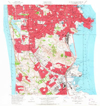
1956 Map of San Francisco South
USGS Topo · Published 1967About this map
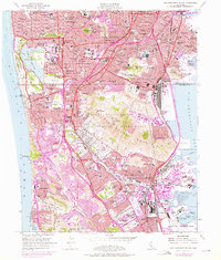
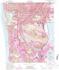
The San Andreas Rift Zone carves through the southern Peninsula in the mid-1950s, defining a landscape of rapid suburban expansion and massive memorial grounds. The town of Colma is remarkably dense with cemeteries, including Holy Cross Cemetery, Cypress Lawn Memorial Park, and the Hills of Eternity Memorial Park, serving as the primary necropolis for the region. To the east, the Bayshore Freeway and the Southern Pacific RR facilitate heavy industrial and transit movement through South San Francisco and San Bruno, leading toward the San Francisco International Airport. Along the shoreline, the map shows the footprint of the Naval Reservation at Hunters Point and the iconic Cow Palace in Visitacion Valley. This era marks a peak of post-war development as residential neighborhoods like Westlake and Ingleside reach toward the coastal ridges of Milagra Ridge and Sweeney Ridge.
Find a feature on this map
144 named features on this map. Tap any name to fly to it.
Don’t see what you’re looking for? This feature index may not catch every label — zoom into the map to look around manually.
Map Details
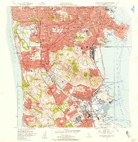
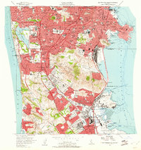
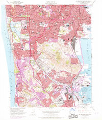
Editions of this 1956 San Francisco South Map
6 editions found
Other maps of this area

1892 · San Mateo
USGS Topo · 1:62,500

1895 · San Francisco
USGS Topo · 1:62,500

1896 · San Mateo
USGS Topo · 1:62,500

1897 · Tamalpais
USGS Topo · 1:62,500

1899 · San Francisco
USGS Topo · 1:62,500

1899 · San Mateo
USGS Topo · 1:62,500

1915 · San Mateo
USGS Topo · 1:62,500

1915 · San Francisco
USGS Topo · 1:62,500

1939 · San Mateo
USGS Topo · 1:62,500

1941 · Tamalpais
USGS Topo · 1:62,500