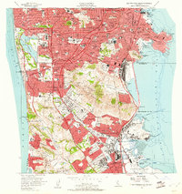
1956 Map of San Francisco South
USGS Topo · Published 1961About this map
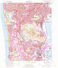
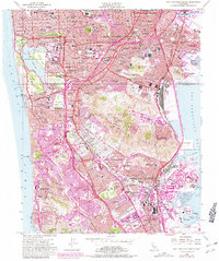
The northern tip of the San Mateo peninsula is captured during a mid-century period of intense residential expansion, where the urban grid of the Sunset District and Ingleside meets the rising terrain of San Bruno Mountain. This 1956 revision reflects the post-war suburbanization of Daly City and South San Francisco, punctuated by a massive corridor of memorial grounds including Holy Cross Cemetery, Cypress Lawn Cemetery, and Golden Gate National Cemetery. The landscape is a study in transition, showing the industrial edges of San Francisco Bay near India Basin alongside civic landmarks like the Cow Palace and the developing San Francisco International Airport. Significant transportation arteries like Skyline Blvd and the Southern Pacific railroad line define the movement between the dense city and the burgeoning coast at Pacific Manor and Sharp Park.
Find a feature on this map
93 named features on this map. Tap any name to fly to it.
Don’t see what you’re looking for? This feature index may not catch every label — zoom into the map to look around manually.
Map Details
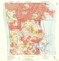
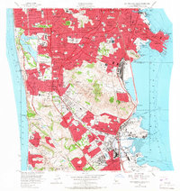
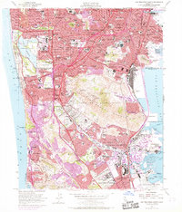
Editions of this 1956 San Francisco South Map
6 editions found
Other maps of this area

1892 · San Mateo
USGS Topo · 1:62,500

1895 · San Francisco
USGS Topo · 1:62,500

1896 · San Mateo
USGS Topo · 1:62,500

1897 · Tamalpais
USGS Topo · 1:62,500

1899 · San Francisco
USGS Topo · 1:62,500

1899 · San Mateo
USGS Topo · 1:62,500

1915 · San Mateo
USGS Topo · 1:62,500

1915 · San Francisco
USGS Topo · 1:62,500

1939 · San Mateo
USGS Topo · 1:62,500

1941 · Tamalpais
USGS Topo · 1:62,500