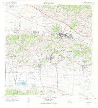
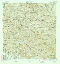
1966 Map of San German
USGS Topo · Published 1969About this map
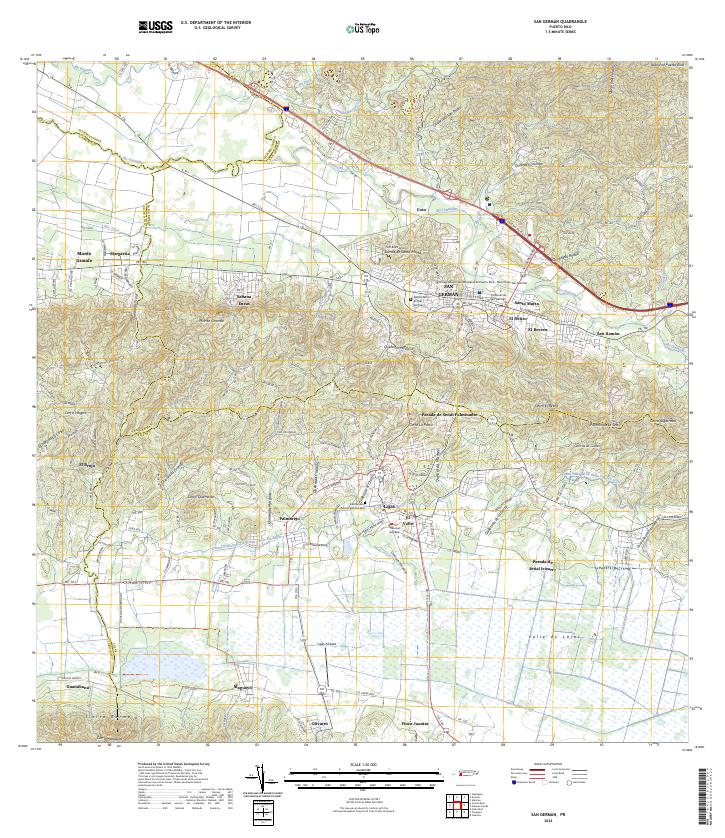
San Germán serves as the focal point of this 1960s study, showcasing the dense urban grid divided into Pueblo Central, Pueblo Occidental, and Pueblo Oriental. The presence of the Universidad Interamericana and numerous institutions like the Escuela Ramirez and Escuela Julio L Vizcarrondo reflect the area's role as an educational and cultural hub. To the south, the landscape transitions into the agricultural valleys of the Municipio de Lajas, where the Ferrocarril connects industrial sites and rural outposts.
Find a feature on this map
113 named features on this map. Tap any name to fly to it.
Don’t see what you’re looking for? This feature index may not catch every label — zoom into the map to look around manually.
Map Details
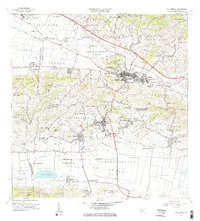
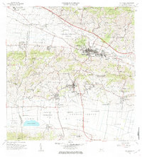
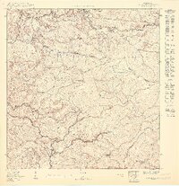
Editions of this 1966 San German Map
4 editions found
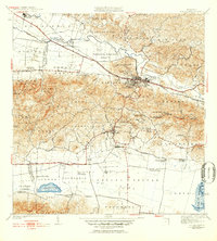
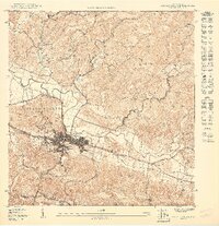
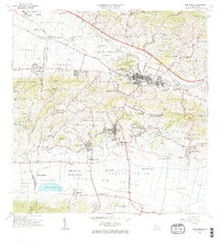
Historical Maps of Llanos Through Time
13 maps found

1937 San German
San Germán Municipio, PR

1941 Rosario
San Germán Municipio, PR
1941 San German
San Germán Municipio, PR
1942 Rosario
San Germán Municipio, PR
1950 Rosario SE
San Germán Municipio, PR
1950 San German NE
San Germán Municipio, PR

1950 San German NO
San Germán Municipio, PR

1955 Rosario
San Germán Municipio, PR

1957 San German
San Germán Municipio, PR

1964 Rosario
San Germán Municipio, PR
1966 San German
San Germán Municipio, PR
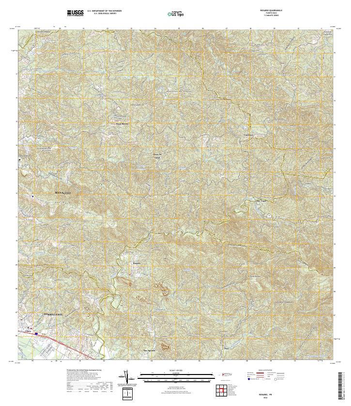
2024 Rosario
San Germán Municipio, PR
2024 San German
San Germán Municipio, PR
Featured Locations
- San Germán, San Germán
- Sector La Panchita, San Germán
- Sector Los Guilardo, San Germán
- Lajas, Lajas
- Villa Estrada, Lajas