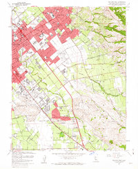
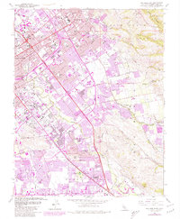
1961 Map of San Jose East
USGS Topo · Published 1962About this map
San Jose undergoes significant post-war expansion in this early 1960s survey, showing the encroachment of residential blocks into the former Pueblo Lands of San Jose. The landscape is a mix of established infrastructure and newer developments, where the Southern Pacific railroad corridor and the Baysure Freeway facilitate a growing industrial and commuter hub. Significant civic and recreational spaces are already well-defined, including Kelley Park, the County Fairgrounds, and Spartan Field and Stadium.
Find a feature on this map
88 named features on this map. Tap any name to fly to it.
Don’t see what you’re looking for? This feature index may not catch every label — zoom into the map to look around manually.
Map Details
Editions of this 1961 San Jose East Map
5 editions found
Other maps of this area

1889 · San Jose
USGS Topo · 1:62,500

1897 · San Jose
USGS Topo · 1:62,500

1897 · Mt. Hamilton
USGS Topo · 1:62,500

1899 · San Jose
USGS Topo · 1:62,500

1916 · New Almaden
USGS Topo · 1:48,000

1917 · Morgan Hill
USGS Topo · 1:62,500

1919 · New Almaden
USGS Topo · 1:62,500

1939 · Morgan Hill
USGS Topo · 1:62,500

1940 · Los Gatos
USGS Topo · 1:62,500

1941 · Morgan Hill
USGS Topo · 1:62,500