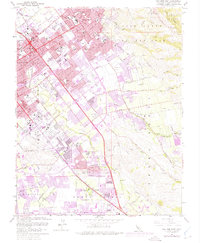
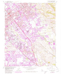
1961 Map of San Jose East
USGS Topo · Published 1975About this map
San Jose expands eastward into the foothills of the Diablo Range in this mid-century portrait of Santa Clara County. The landscape is a transition of urban density, suburban development, and industrial sites like the Hillsdale Mine and New North Almaden Mine. Large institutional and recreational grounds such as Kelley Park, the County Fairgrounds, and the Oak Hill Memorial Park (Cem) define much of the southern and central terrain.
Find a feature on this map
83 named features on this map. Tap any name to fly to it.
Don’t see what you’re looking for? This feature index may not catch every label — zoom into the map to look around manually.
Map Details
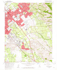
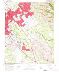
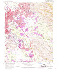
Editions of this 1961 San Jose East Map
5 editions found
Other maps of this area

1889 · San Jose
USGS Topo · 1:62,500

1897 · San Jose
USGS Topo · 1:62,500

1897 · Mt. Hamilton
USGS Topo · 1:62,500

1899 · San Jose
USGS Topo · 1:62,500

1916 · New Almaden
USGS Topo · 1:48,000

1917 · Morgan Hill
USGS Topo · 1:62,500

1919 · New Almaden
USGS Topo · 1:62,500

1939 · Morgan Hill
USGS Topo · 1:62,500

1940 · Los Gatos
USGS Topo · 1:62,500

1941 · Morgan Hill
USGS Topo · 1:62,500