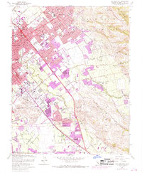
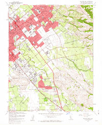
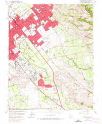
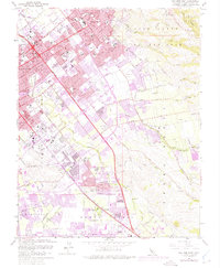
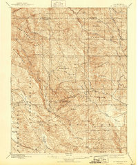
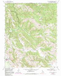
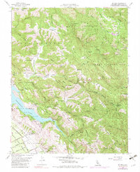
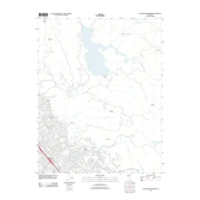
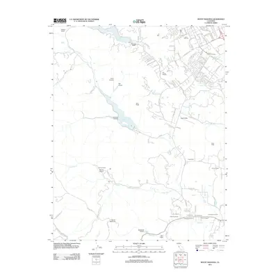
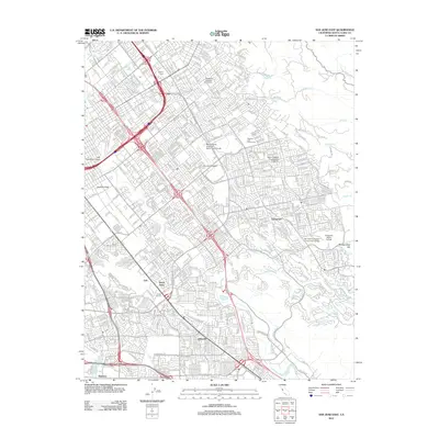
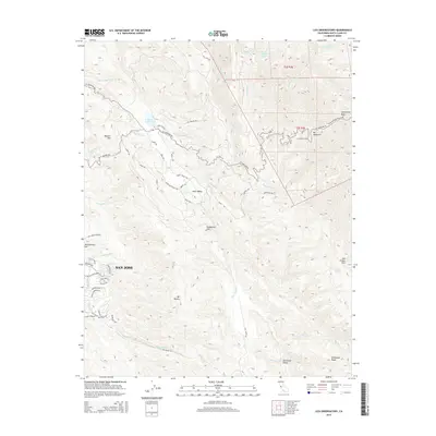
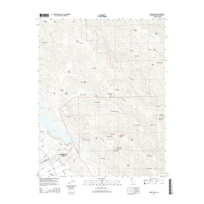
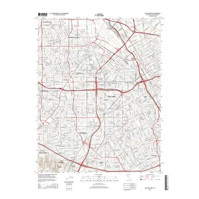
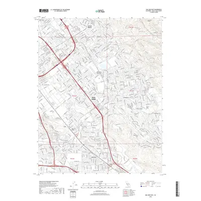
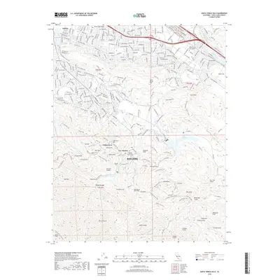
1961 Map of San Jose East
USGS Topo · Published 1969About this map
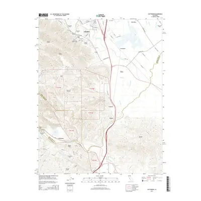
San Jose and its eastern suburbs are shown during a phase of rapid residential expansion, with purple tints indicating urban growth documented in 1968. This landscape transitions from the dense street grids of the city center to the orchards and open fields of the Santa Clara Valley, punctuated by the Southern Pacific rail line and the Bayshore Freeway. The map records significant industrial and civic infrastructure, from the Hillsdale Mine and New North Almaden Mine in the southern hills to the County Fairgrounds and Spartan Field and Stadium. Cultural and recreational landmarks of the era are well-represented, including the San Jose Speedway, Hillview Airport, and the sprawling Oak Hill Memorial Park (Cem). Notable local education centers like Overfelt High Sch and San Jose Bible College serve the emerging neighborhoods of Seven Trees and Evergreen.
Find a feature on this map
101 named features on this map. Tap any name to fly to it.
Don’t see what you’re looking for? This feature index may not catch every label — zoom into the map to look around manually.
Map Details
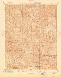
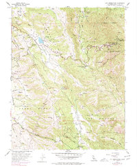
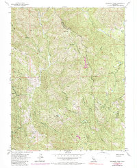
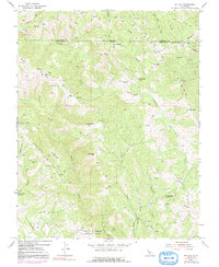
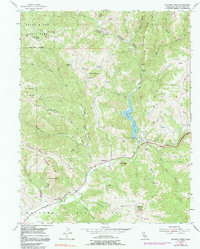
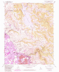
Editions of this 1961 San Jose East Map
5 editions found
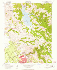
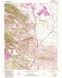
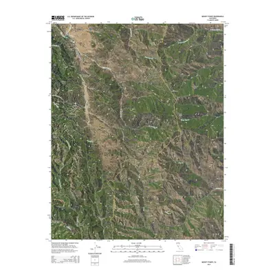
Historical Maps of San Jose Through Time
91 maps found
1897 Mt. Hamilton
Santa Clara County, CA

1916 New Almaden
Santa Clara County, CA
1921 Gilroy Hot Springs
Santa Clara County, CA

1939 Gilroy Hot Springs
Santa Clara County, CA

1940 Gilroy Hot Springs
Santa Clara County, CA

1942 Mt. Hamilton
Santa Clara County, CA

1943 Mt. Hamilton
Santa Clara County, CA

1947 Mt. Hamilton
Santa Clara County, CA
1953 Calaveras Reservoir
Santa Clara County, CA

1953 San Jose East
Santa Clara County, CA

1953 San Jose West
Santa Clara County, CA

1953 Santa Teresa Hills
Santa Clara County, CA
1955 Chittenden
Santa Clara County, CA

1955 Eylar Mountain
Santa Clara County, CA
1955 Gilroy Hot Springs
Santa Clara County, CA

1955 Isabel Valley
Santa Clara County, CA
1955 Lick Observatory
Santa Clara County, CA
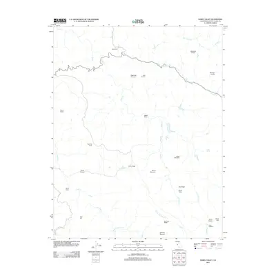
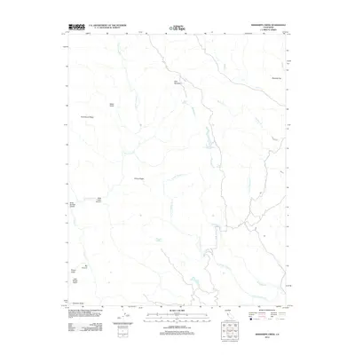
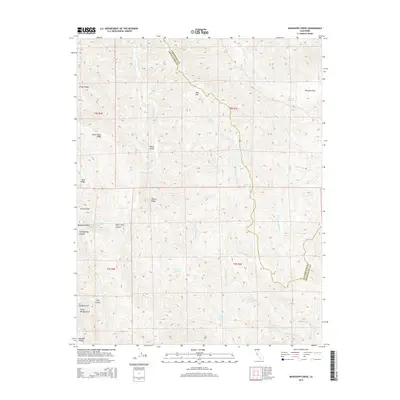
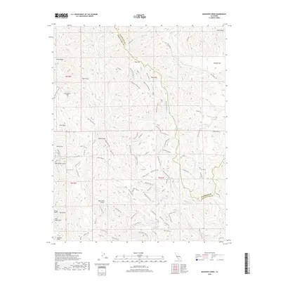
1955 Mississippi Creek
Santa Clara County, CA
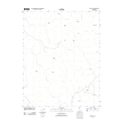
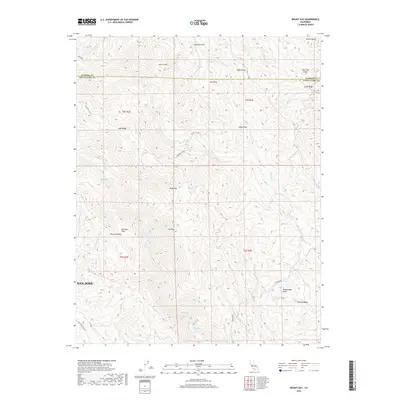
1955 Mt. Day
Santa Clara County, CA

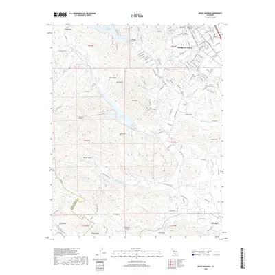
1955 Mt. Madonna
Santa Clara County, CA
1955 Mt. Sizer
Santa Clara County, CA

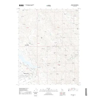
1955 Mt. Stakes
Santa Clara County, CA
1955 Pacheco Peak
Santa Clara County, CA
1961 Calaveras Reservoir
Santa Clara County, CA
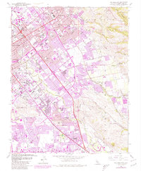
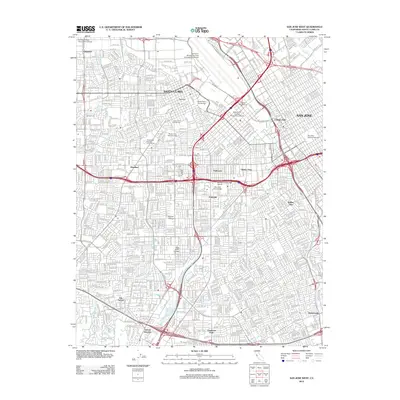
1961 San Jose East
Santa Clara County, CA

1961 San Jose West
Santa Clara County, CA

1963 Mt. Hamilton
Santa Clara County, CA

1967 Mt. Hamilton
Santa Clara County, CA

1996 Mississippi Creek
Santa Clara County, CA

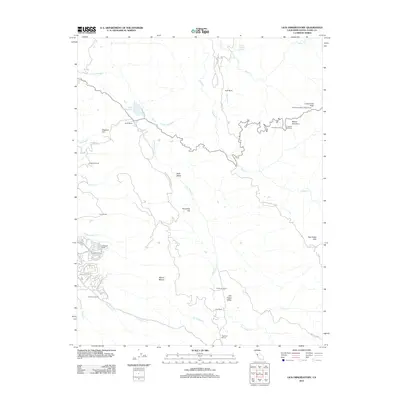
1996 Mount Day
Santa Clara County, CA

1996 Mount Madonna
Santa Clara County, CA
2012 Calaveras Reservoir
Santa Clara County, CA
2012 Chittenden
Santa Clara County, CA
2012 Eylar Mountain
Santa Clara County, CA
2012 Gilroy Hot Springs
Santa Clara County, CA
2012 Isabel Valley
Santa Clara County, CA
2012 Lick Observatory
Santa Clara County, CA
2012 Mississippi Creek
Santa Clara County, CA
2012 Mount Day
Santa Clara County, CA
2012 Mount Madonna
Santa Clara County, CA
2012 Mount Sizer
Santa Clara County, CA
2012 Mount Stakes
Santa Clara County, CA
2012 Pacheco Peak
Santa Clara County, CA
2012 San Jose East
Santa Clara County, CA
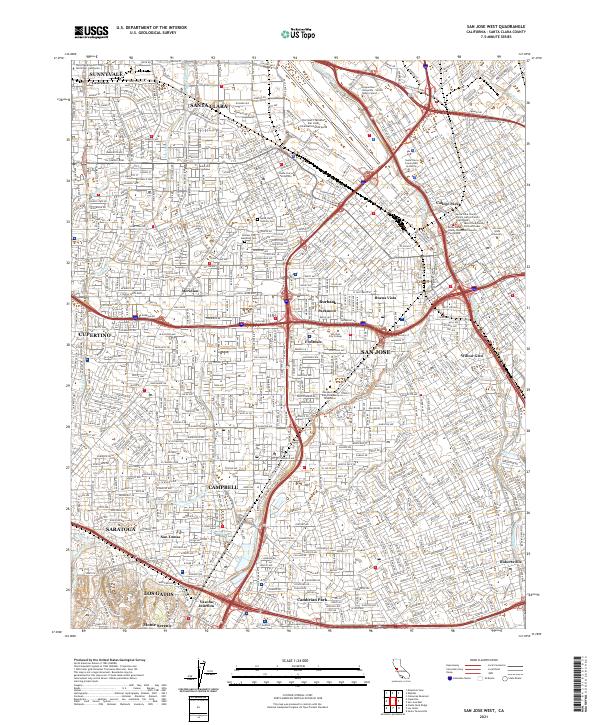
2012 San Jose West
Santa Clara County, CA
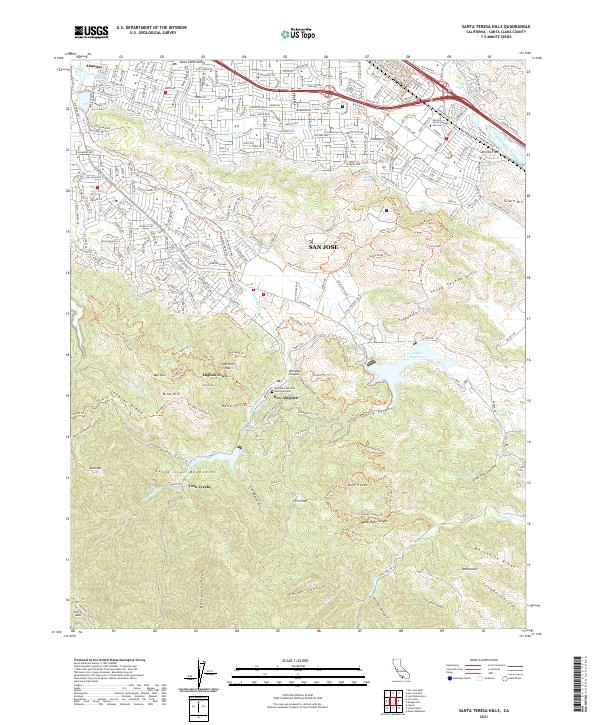
2012 Santa Teresa Hills
Santa Clara County, CA
2015 Calaveras Reservoir
Santa Clara County, CA
2015 Chittenden
Santa Clara County, CA
2015 Eylar Mountain
Santa Clara County, CA
2015 Gilroy Hot Springs
Santa Clara County, CA
2015 Isabel Valley
Santa Clara County, CA
2015 Lick Observatory
Santa Clara County, CA
2015 Mississippi Creek
Santa Clara County, CA
2015 Mount Day
Santa Clara County, CA
2015 Mount Madonna
Santa Clara County, CA
2015 Mount Sizer
Santa Clara County, CA
2015 Mount Stakes
Santa Clara County, CA
2015 Pacheco Peak
Santa Clara County, CA
2015 San Jose East
Santa Clara County, CA
2015 San Jose West
Santa Clara County, CA
2015 Santa Teresa Hills
Santa Clara County, CA
2018 Calaveras Reservoir
Santa Clara County, CA
2018 Chittenden
Santa Clara County, CA
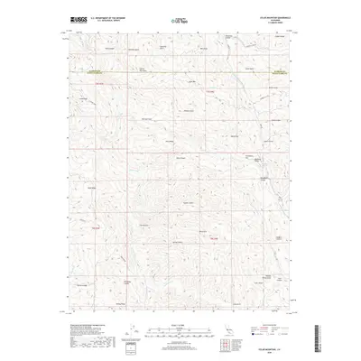
2018 Eylar Mountain
Santa Clara County, CA
2018 Gilroy Hot Springs
Santa Clara County, CA
2018 Isabel Valley
Santa Clara County, CA
2018 Lick Observatory
Santa Clara County, CA
2018 Mississippi Creek
Santa Clara County, CA
2018 Mount Day
Santa Clara County, CA
2018 Mount Madonna
Santa Clara County, CA
2018 Mount Sizer
Santa Clara County, CA
2018 Mount Stakes
Santa Clara County, CA
2018 Pacheco Peak
Santa Clara County, CA
2018 San Jose East
Santa Clara County, CA
2018 San Jose West
Santa Clara County, CA
2018 Santa Teresa Hills
Santa Clara County, CA

2021 Calaveras Reservoir
Santa Clara County, CA
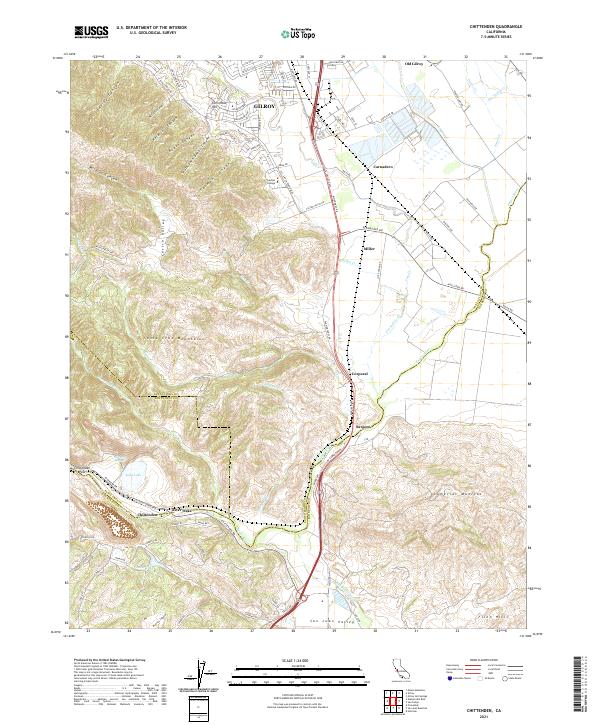
2021 Chittenden
Santa Clara County, CA
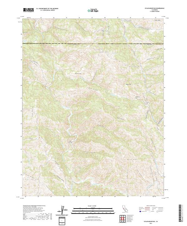
2021 Eylar Mountain
Santa Clara County, CA
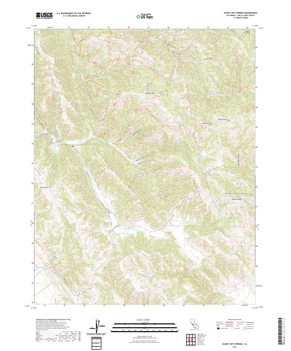
2021 Gilroy Hot Springs
Santa Clara County, CA
2021 Isabel Valley
Santa Clara County, CA
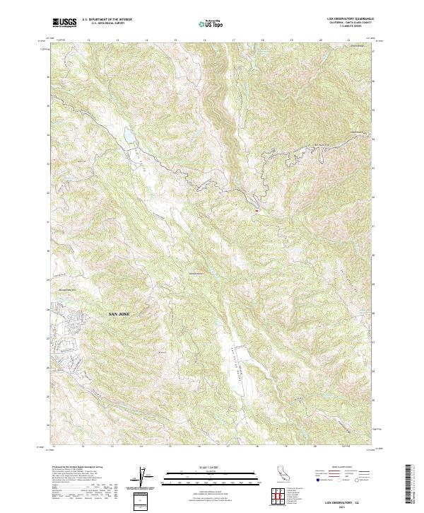
2021 Lick Observatory
Santa Clara County, CA
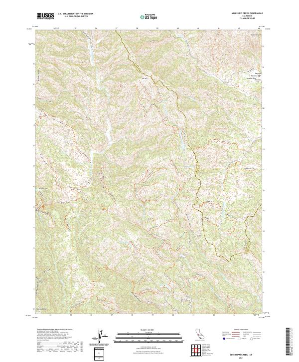
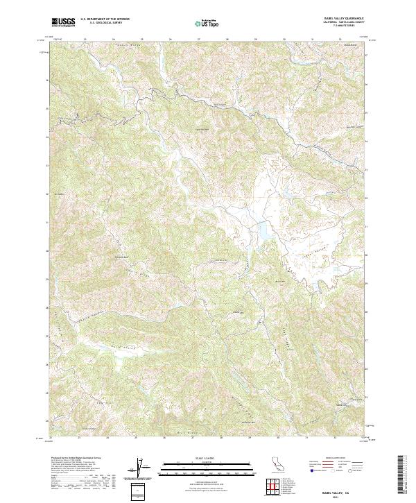
2021 Mississippi Creek
Santa Clara County, CA
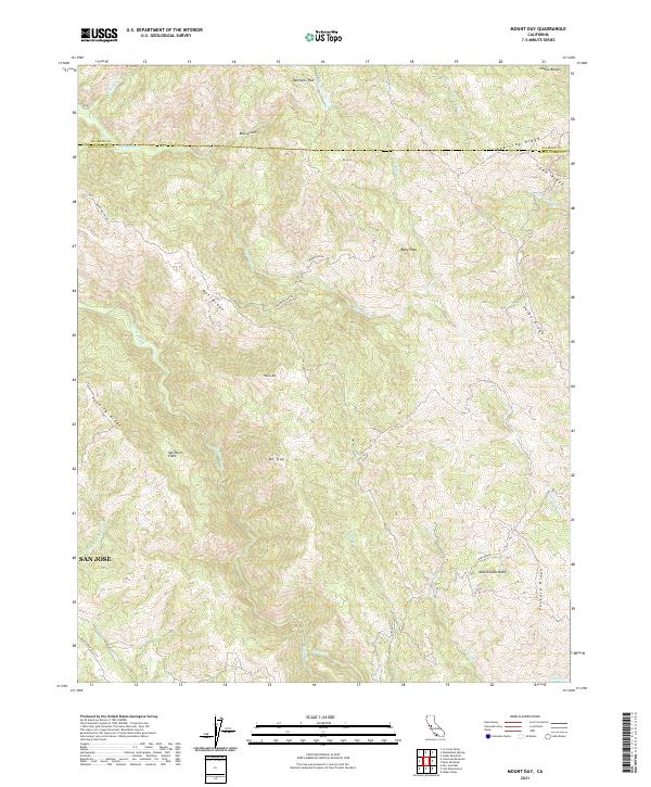
2021 Mount Day
Santa Clara County, CA
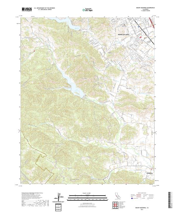
2021 Mount Madonna
Santa Clara County, CA
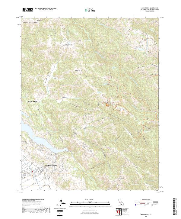
2021 Mount Sizer
Santa Clara County, CA

2021 Mount Stakes
Santa Clara County, CA
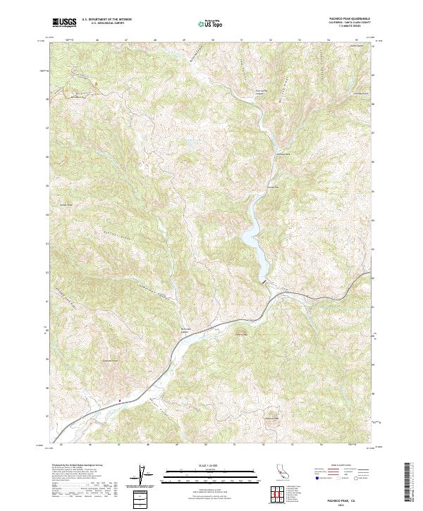
2021 Pacheco Peak
Santa Clara County, CA
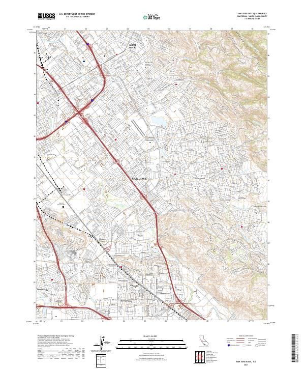
2021 San Jose East
Santa Clara County, CA
2021 San Jose West
Santa Clara County, CA
2021 Santa Teresa Hills
Santa Clara County, CA