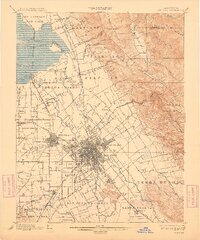
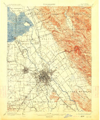
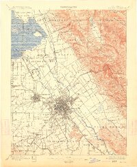
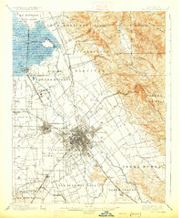
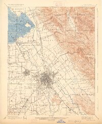
1899 Map of San Jose
USGS Topo · Published 1905This historical map portrays the area of San Jose in 1899, primarily covering Santa Clara as well as portions of Alameda County. Featuring a scale of 1:62500, this map provides a highly detailed snapshot of the terrain, roads, buildings, counties, and historical landmarks in the San Jose region at the time. Published in 1905, it is one of 10 known editions of this map due to revisions or reprints.
Map Details
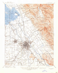
Editions of this 1899 San Jose Map
10 editions found

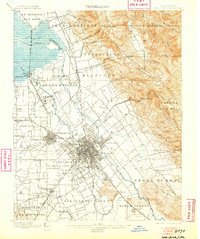
1899 edition
17.3 x 19.8 inches
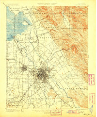
1901 edition
16.6 x 20 inches
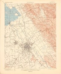
1905 edition
16.57 x 19.95 inches
1905 edition
16.7 x 19.9 inches
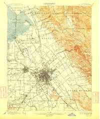
1909 edition
16.6 x 19.8 inches
1909 edition
16.62 x 19.99 inches
1913 edition
16.6 x 19.9 inches
1913 edition
16.55 x 20.1 inches
1926 edition
16.6 x 19.9 inches
1926 edition
16.36 x 20 inches
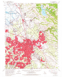
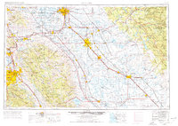
Historical Maps of San Jose Through Time
11 maps found
1889 San Jose
Santa Clara County, CA

1897 San Jose
Santa Clara County, CA
1899 San Jose
Santa Clara County, CA

1943 San Jose
Santa Clara County, CA

1947 San Jose
Santa Clara County, CA

1953 San Jose
Santa Clara County, CA

1956 San Jose
Santa Clara County, CA
1961 San Jose
Santa Clara County, CA
1962 San Jose
Santa Clara County, CA

1966 San Jose
Santa Clara County, CA

1978 San Jose
Santa Clara County, CA