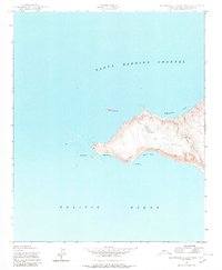
1943 Map of San Miguel Island West
USGS Topo · Published 1980About this map
Green Mtn rises above the western reaches of this island during a period when the area was strictly documented for maritime and scientific navigation. The terrain is characterized by its isolation between the Santa Barbara Channel and the Pacific Ocean, featuring a coastline defined by exposed points and sheltered bights. Surveyed by the Army Map Service during the mid-war era, the map records the presence of the New San Miguel Latitude Station, a key site for precise geographic measurement. Coastal features such as Point Bennett and Adams Cove suggest the island's role as a waypoint for research and surveillance before more modern development. The topography is meticulously detailed, showing the steep elevations and natural catchments that define the landscape of the Simonton Cove area.
Find a feature on this map
12 named features on this map. Tap any name to fly to it.
Don’t see what you’re looking for? This feature index may not catch every label — zoom into the map to look around manually.
Map Details
Editions of this 1943 San Miguel Island West Map
3 editions found
Other maps of this area
1943 · San Miguel Island West
USGS Topo · 1:24,000
1943 · San Miguel Island East
USGS Topo · 1:24,000

1948 · Santa Maria
USGS Topo · 1:250,000
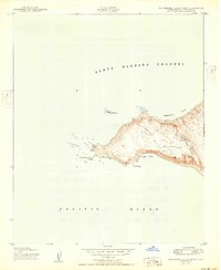
1950 · San Miguel Island West
USGS Topo · 1:24,000
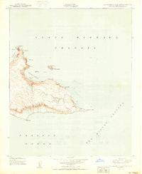
1950 · San Miguel Island East
USGS Topo · 1:24,000

1956 · Santa Maria
USGS Topo · 1:250,000

1957 · Santa Maria
USGS Topo · 1:250,000

1958 · Santa Maria
USGS Topo · 1:250,000

1962 · Santa Maria
USGS Topo · 1:250,000
1981 · Point Conception
USGS Topo · 1:100,000