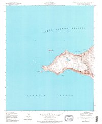
1943 Map of San Miguel Island West
USGS Topo · Published 1980About this map
Point Bennett marks the westernmost extremity of this island landscape, a windswept environment shaped by the surrounding Pacific Ocean and the Santa Barbara Channel. Based on 1943 aerial photography, the terrain rises from tidal inlets like Adams Cove and Tyler Bight toward the central heights of Green Mountain. The absence of man-made structures or settlements reflects the area's isolation and primary use by the military and researchers during the mid-century era. Offshore features such as Castle Rock and the shoreline near Judith Rock emphasize the hazards of this maritime environment. Historical researchers can examine the natural coastal contours and landing sites like Simonton Cove, which remained largely unchanged by development during this period of coastal surveillance.
Find a feature on this map
9 named features on this map. Tap any name to fly to it.
Don’t see what you’re looking for? This feature index may not catch every label — zoom into the map to look around manually.
Map Details
Editions of this 1943 San Miguel Island West Map
3 editions found
Other maps of this area
1943 · San Miguel Island West
USGS Topo · 1:24,000
1943 · San Miguel Island East
USGS Topo · 1:24,000

1948 · Santa Maria
USGS Topo · 1:250,000
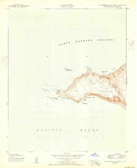
1950 · San Miguel Island West
USGS Topo · 1:24,000
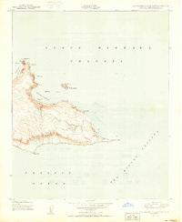
1950 · San Miguel Island East
USGS Topo · 1:24,000

1956 · Santa Maria
USGS Topo · 1:250,000

1957 · Santa Maria
USGS Topo · 1:250,000

1958 · Santa Maria
USGS Topo · 1:250,000

1962 · Santa Maria
USGS Topo · 1:250,000
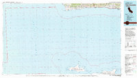
1981 · Point Conception
USGS Topo · 1:100,000