
1892 Map of San Pedro
USGS Topo · Published 1892About this map
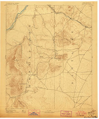
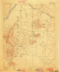
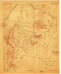
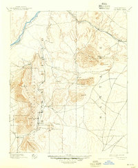
Mining and rail activity define the central high country of New Mexico in the late nineteenth century, as documented by surveyors R. H. Chapman and R. H. Phillips. The Atchison Topeka and Santa Fe Railroad cuts through the northern corridor, connecting Cerrillos and Ortiz while following the valley of Galisteo Creek. This era captures a landscape of scattered adobe settlements and emerging mining camps clustered around the Ortiz Mountains and the San Pedro Mts., including Dolores and the town of Golden.
Find a feature on this map
36 named features on this map. Tap any name to fly to it.
Don’t see what you’re looking for? This feature index may not catch every label — zoom into the map to look around manually.
Map Details
Editions of this 1892 San Pedro Map
5 editions found
Other maps of this area

1888 · Bernalillo
USGS Topo · 1:125,000

1889 · Albuquerque
USGS Topo · 1:125,000

1889 · Santa Fe
USGS Topo · 1:125,000

1890 · Jemes
USGS Topo · 1:125,000

1892 · Jemes
USGS Topo · 1:125,000

1892 · Santa Clara
USGS Topo · 1:125,000

1893 · Albuquerque
USGS Topo · 1:125,000

1894 · Santa Fe
USGS Topo · 1:125,000

1894 · Lamy
USGS Topo · 1:125,000

1917 · Estancia
USGS Topo · 1:125,000