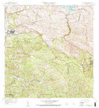
1958 Map of San Sebastian
USGS Topo · Published 1968About this map
The town of San Sebastian serves as the focal point of this 1958 revision, situated where the Rio Guatemala and Quebrada Culebrinas intersect. The landscape is defined by its agricultural heritage, evidenced by numerous historical estates including Hacienda Santa Ana, Hacienda San Pedro, and Hacienda Buena Vista. These named haciendas reflect a long-standing land tenure pattern across the barrios of Bahomamey, Piedras Blancas, and Culebrinas.
Find a feature on this map
64 named features on this map. Tap any name to fly to it.
Don’t see what you’re looking for? This feature index may not catch every label — zoom into the map to look around manually.
Map Details
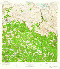
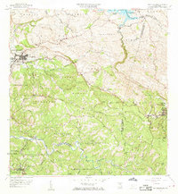
Editions of this 1958 San Sebastian Map
3 editions found
Other maps of this area

1937 · Moca
USGS Topo · 1:20,000

1938 · Alto Sano
USGS Topo · 1:20,000

1938 · Camuy
USGS Topo · 1:20,000

1938 · San Sebastian
USGS Topo · 1:20,000

1938 · Quebradillas
USGS Topo · 1:20,000

1941 · Moca
USGS Topo · 1:30,000

1941 · San Sebastian
USGS Topo · 1:30,000

1941 · Rosario
USGS Topo · 1:30,000

1942 · Moca
USGS Topo · 1:30,000

1942 · Central La Plata
USGS Topo · 1:30,000