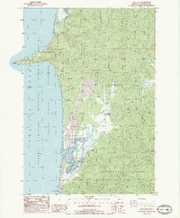
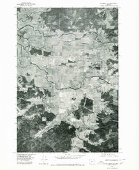
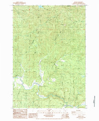
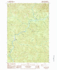
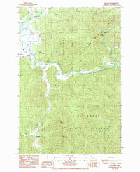
1985 Map of Sand Lake
USGS Topo · Published 1985This historical map portrays the area of Sand Lake in 1985, primarily covering Tillamook County. Featuring a scale of 1:24000, this map provides a highly detailed snapshot of the terrain, roads, buildings, counties, and historical landmarks in the Sand Lake region at the time. Published in 1985, it is one of 2 known editions of this map due to revisions or reprints.
Find a feature on this map
35 named features on this map. Tap any name to fly to it.
Don’t see what you’re looking for? This feature index may not catch every label — zoom into the map to look around manually.
Map Details
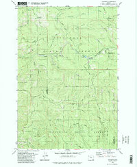
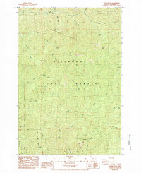
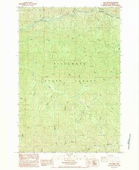
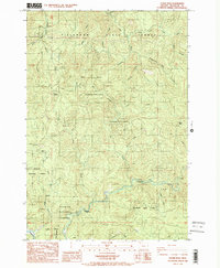
Editions of this 1985 Sand Lake Map
2 editions found
Historical Maps of Tillamook County Through Time
24 maps found

1937 Enright
Tillamook County, OR

1941 Enright
Tillamook County, OR

1941 Nestucca Bay
Tillamook County, OR
1942 Ginger Peak
Tillamook County, OR

1942 Nestucca Bay
Tillamook County, OR
1955 Blaine
Tillamook County, OR
1955 Enright
Tillamook County, OR
1975 Tillamook NE
Tillamook County, OR
1979 Cochran
Tillamook County, OR
1979 Nehalem River
Tillamook County, OR
1979 Woods Point
Tillamook County, OR
1984 Blaine
Tillamook County, OR
1984 Cedar Butte
Tillamook County, OR
1984 Cook Creek
Tillamook County, OR
1984 Dovre Peak
Tillamook County, OR
1984 Jordan Creek
Tillamook County, OR
1984 Rogers Peak
Tillamook County, OR
1984 The Peninsula
Tillamook County, OR
1984 Trask
Tillamook County, OR
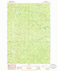
1985 Dolph
Tillamook County, OR
1985 Foley Peak
Tillamook County, OR
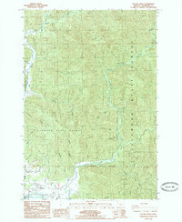
1985 Kilchis River
Tillamook County, OR

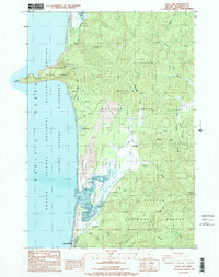
1985 Nestucca Bay
Tillamook County, OR
1985 Sand Lake
Tillamook County, OR