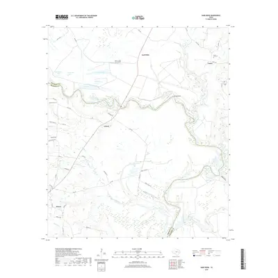
2019 Map of Sand Ridge
USGS Topo · Published 2019About this map
Midway stands as a primary settlement in this part of Madison County, situated near the intersection of several farm roads. The landscape is defined by the winding course of the boundary between Madison and Houston counties, where numerous oxbow lakes and wetlands such as Rattlesnake Lake, Snag Lake, and Brushy Lake illustrate the shifting hydrology of the region. This 2019 survey documents a rural environment where aviation, ranching, and local history intersect at sites like Trinity Field and the Seven J Stock Farm Airport. Genealogists will find several burial grounds noted, including Union Grove Cem near Vistula and Bozeman Cem to the west. The map also records numerous creek branches and drainages like Crabs Br and Ivey Cr that feed into the larger river systems of east-central Texas.
Find a feature on this map
60 named features on this map. Tap any name to fly to it.
Don’t see what you’re looking for? This feature index may not catch every label — zoom into the map to look around manually.
Map Details
Editions of this 2019 Sand Ridge Map
This is the sole edition of this map. No revisions or reprints were ever made.
Other maps of this area

1953 · Palestine
USGS Topo · 1:250,000

1954 · Beaumont
USGS Topo · 1:250,000

1957 · Beaumont
USGS Topo · 1:250,000

1957 · Palestine
USGS Topo · 1:250,000

1962 · Connor
USGS Topo · 1:24,000

1962 · Wyser Bottom
USGS Topo · 1:24,000

1962 · Baker Lake
USGS Topo · 1:24,000

1964 · Sand Ridge
USGS Topo · 1:24,000

1964 · Austonio
USGS Topo · 1:24,000

1964 · Pearsons Chapel
USGS Topo · 1:24,000