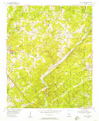
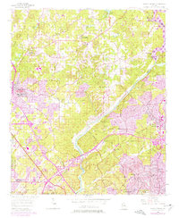
1955 Map of Sandy Springs
USGS Topo · Published 1957About this map
Chattahoochee River crossings and rolling Piedmont terrain define this mid-1950s landscape as the Atlanta metropolitan area begins its northward expansion. The map details the transition from rural landholdings to emerging suburban communities, centered around Sandy Springs and smaller hubs like Mt Bethel and Marietta Campground. Local social structures are visible through a network of country schools and houses of worship, including Cross Roads Ch, Santell Ch, and the East Side Sch.
Find a feature on this map
82 named features on this map. Tap any name to fly to it.
Don’t see what you’re looking for? This feature index may not catch every label — zoom into the map to look around manually.
Map Details
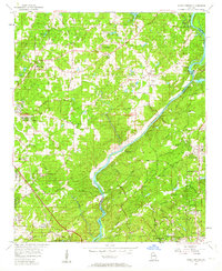
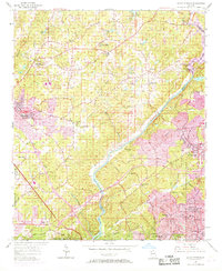
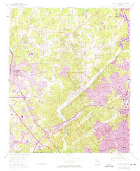
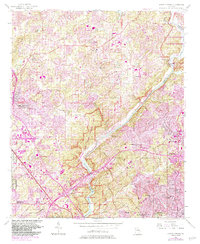
Editions of this 1955 Sandy Springs Map
6 editions found
Other maps of this area

1888 · Atlanta
USGS Topo · 1:125,000

1890 · Suwanee
USGS Topo · 1:125,000

1890 · Cartersville
USGS Topo · 1:125,000

1890 · Atlanta
USGS Topo · 1:125,000

1891 · Marietta
USGS Topo · 1:125,000

1891 · Cartersville
USGS Topo · 1:125,000

1892 · Atlanta
USGS Topo · 1:125,000

1894 · Suwanee
USGS Topo · 1:125,000

1895 · Atlanta
USGS Topo · 1:125,000

1895 · Marietta
USGS Topo · 1:125,000