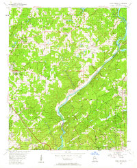
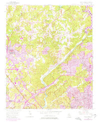
1955 Map of Sandy Springs
USGS Topo · Published 1964About this map
The Chattahoochee River carves a deep diagonal through this mid-1950s landscape, serving as the natural boundary between Cobb and Fulton Counties. Before the intense suburbanization of later decades, the area around Sandy Springs and Sewell remains defined by its network of historic churches and family landmarks, including Antioch Ch and Mt Bethel Cem. The map documents a period of transition as the Atlanta city boundary reaches the southern edge of the sheet, while the northern reaches maintain a more rural character focused around Marietta Campground and Camp Bert Adams.
Find a feature on this map
74 named features on this map. Tap any name to fly to it.
Don’t see what you’re looking for? This feature index may not catch every label — zoom into the map to look around manually.
Map Details
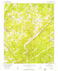
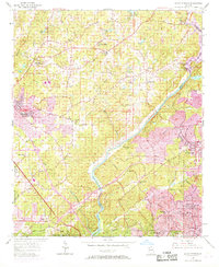
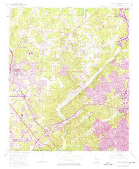
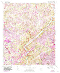
Editions of this 1955 Sandy Springs Map
6 editions found
Other maps of this area

1888 · Atlanta
USGS Topo · 1:125,000

1890 · Suwanee
USGS Topo · 1:125,000

1890 · Cartersville
USGS Topo · 1:125,000

1890 · Atlanta
USGS Topo · 1:125,000

1891 · Marietta
USGS Topo · 1:125,000

1891 · Cartersville
USGS Topo · 1:125,000

1892 · Atlanta
USGS Topo · 1:125,000

1894 · Suwanee
USGS Topo · 1:125,000

1895 · Atlanta
USGS Topo · 1:125,000

1895 · Marietta
USGS Topo · 1:125,000