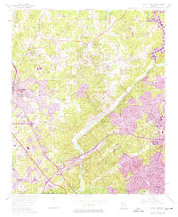
1955 Map of Sandy Springs
USGS Topo · Published 1974About this map
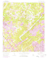
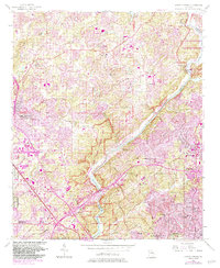
The Chattahoochee River carves a deep diagonal through this mid-century landscape, serving as the natural boundary between Cobb and Fulton counties. This 1955 survey, with purple-tinted revisions from the late 1960s and early 1970s, documents the northward expansion of the Atlanta metropolitan area toward Sandy Springs and Marietta. The transition from rural to suburban is evident in the network of established mill roads like Terrell Mill Road and Sewell Mill Creek, which give way to the sprawling footprint of Dobbins Air Force Base in the west. Local genealogy is anchored by numerous country churches and schools, including Antioch Ch, New Providence Ch, and the East Side Sch. The presence of the Louisville and Nashville railroad and the Marietta Campground reflects the area's long-standing role as a hub for both transportation and community gatherings.
Find a feature on this map
51 named features on this map. Tap any name to fly to it.
Don’t see what you’re looking for? This feature index may not catch every label — zoom into the map to look around manually.
Map Details
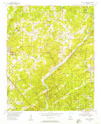
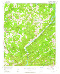
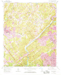
Editions of this 1955 Sandy Springs Map
6 editions found
Other maps of this area

1888 · Atlanta
USGS Topo · 1:125,000

1890 · Suwanee
USGS Topo · 1:125,000

1890 · Cartersville
USGS Topo · 1:125,000

1890 · Atlanta
USGS Topo · 1:125,000

1891 · Marietta
USGS Topo · 1:125,000

1891 · Cartersville
USGS Topo · 1:125,000

1892 · Atlanta
USGS Topo · 1:125,000

1894 · Suwanee
USGS Topo · 1:125,000

1895 · Atlanta
USGS Topo · 1:125,000

1895 · Marietta
USGS Topo · 1:125,000