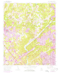
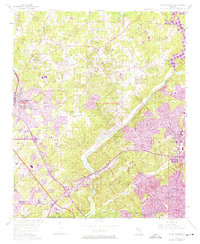
1955 Map of Sandy Springs
USGS Topo · Published 1977About this map
Chattahoochee River defines the central axis of this landscape, dividing the growing communities of Marietta, Smyrna, and Sandy Springs during a period of significant post-war expansion. While the 1955 topography shows a largely rural network of country roads like Paper Mill Road and Johnson Ferry Road, purple revision overlays from the late 1960s and early 1970s reveal the rapid suburbanization of north Atlanta.
Find a feature on this map
66 named features on this map. Tap any name to fly to it.
Don’t see what you’re looking for? This feature index may not catch every label — zoom into the map to look around manually.
Map Details
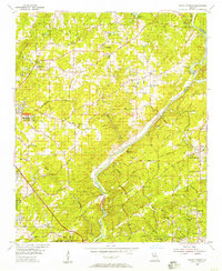
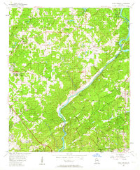
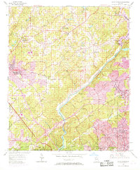
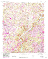
Editions of this 1955 Sandy Springs Map
6 editions found
Other maps of this area

1888 · Atlanta
USGS Topo · 1:125,000

1890 · Suwanee
USGS Topo · 1:125,000

1890 · Cartersville
USGS Topo · 1:125,000

1890 · Atlanta
USGS Topo · 1:125,000

1891 · Marietta
USGS Topo · 1:125,000

1891 · Cartersville
USGS Topo · 1:125,000

1892 · Atlanta
USGS Topo · 1:125,000

1894 · Suwanee
USGS Topo · 1:125,000

1895 · Atlanta
USGS Topo · 1:125,000

1895 · Marietta
USGS Topo · 1:125,000