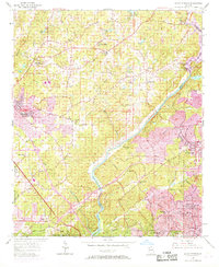
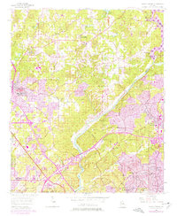
1955 Map of Sandy Springs
USGS Topo · Published 1969About this map
The Chattahoochee River defines the landscape of the mid-1950s, acting as the boundary between Cobb and Fulton counties before the massive suburban expansion of the late 20th century. This area, updated with purple revisions in the late 1960s, shows the transition of Sandy Springs and Atlanta northward. In Cobb County, large tracts of land are occupied by the Dobbins Air Force Base and the Naval Air Station.
Find a feature on this map
67 named features on this map. Tap any name to fly to it.
Don’t see what you’re looking for? This feature index may not catch every label — zoom into the map to look around manually.
Map Details
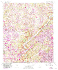
Editions of this 1955 Sandy Springs Map
6 editions found
Other maps of this area

1888 · Atlanta
USGS Topo · 1:125,000

1890 · Suwanee
USGS Topo · 1:125,000

1890 · Cartersville
USGS Topo · 1:125,000

1890 · Atlanta
USGS Topo · 1:125,000

1891 · Marietta
USGS Topo · 1:125,000

1891 · Cartersville
USGS Topo · 1:125,000

1892 · Atlanta
USGS Topo · 1:125,000

1894 · Suwanee
USGS Topo · 1:125,000

1895 · Atlanta
USGS Topo · 1:125,000

1895 · Marietta
USGS Topo · 1:125,000