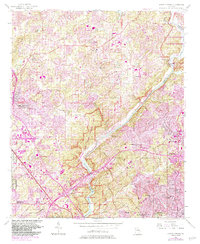
1955 Map of Sandy Springs
USGS Topo · Published 1983About this map
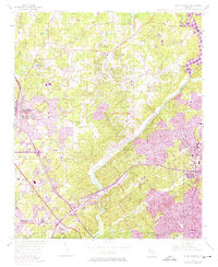
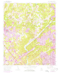
Sewell Mill and the banks of the Chattahoochee River define this mid-century landscape where suburban expansion meets rural Georgia. The survey documents a critical period of growth across the Fulton and Cobb County line, showing the early infrastructure of the interstate system through numerous interchanges. Significant social and spiritual landmarks are preserved here, from the Marietta Campground and its associated cemetery to a dense network of country churches like Antioch Ch and Mt Bethel Ch. The western edge is dominated by the U.S. Military Res (Dobbins Air Force Base), while the sprawling Chattahoochee River National Recreation Area buffers the river corridor. Local education and community life are grounded in sites like Powers Ferry Road Sch and Sardis Ch, illustrating the transition from a dispersed mill-and-farm economy to a modern metropolitan edge.
Find a feature on this map
72 named features on this map. Tap any name to fly to it.
Don’t see what you’re looking for? This feature index may not catch every label — zoom into the map to look around manually.
Map Details
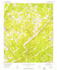
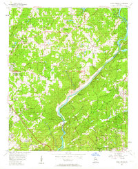
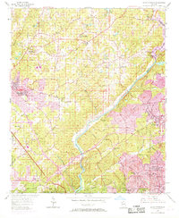
Editions of this 1955 Sandy Springs Map
6 editions found
Other maps of this area

1888 · Atlanta
USGS Topo · 1:125,000

1890 · Suwanee
USGS Topo · 1:125,000

1890 · Cartersville
USGS Topo · 1:125,000

1890 · Atlanta
USGS Topo · 1:125,000

1891 · Marietta
USGS Topo · 1:125,000

1891 · Cartersville
USGS Topo · 1:125,000

1892 · Atlanta
USGS Topo · 1:125,000

1894 · Suwanee
USGS Topo · 1:125,000

1895 · Atlanta
USGS Topo · 1:125,000

1895 · Marietta
USGS Topo · 1:125,000