
1911 Map of Sansbois
USGS Topo · Published 1911About this map
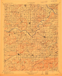
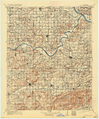
Stigler and Quinton serve as the primary hubs of this eastern Oklahoma landscape at the turn of the century, an era defined by the expansion of the Midland Valley and Fort Smith and Western railroads. The map captures a moment when the rugged terrain of Sansbois Mountain and Broken Mountain is punctuated by dozens of rural one-room schools, including the curiously named Scroungeout School and the Belle Starr School. Transport relies on established water crossings like the Thornton Ferry over the Arkansas River and the Sampson Wade Crossing on Sansbois Creek. This survey reveals a deeply settled rural fabric before the modernization of the road network, highlighting family-named landmarks and small community centers like Briartown, Whitefield, and Kinta that anchored the region's early development.
Find a feature on this map
105 named features on this map. Tap any name to fly to it.
Don’t see what you’re looking for? This feature index may not catch every label — zoom into the map to look around manually.
Map Details
Editions of this 1911 Sansbois Map
3 editions found
Other maps of this area

1896 · Okmulgee
USGS Topo · 1:125,000

1898 · McAlester
USGS Topo · 1:125,000

1898 · Tahlequah
USGS Topo · 1:125,000

1900 · Sansbois
USGS Topo · 1:125,000

1900 · Canadian
USGS Topo · 1:125,000

1900 · Okmulgee
USGS Topo · 1:125,000

1900 · Sallisaw
USGS Topo · 1:125,000

1900 · Winding Stair
USGS Topo · 1:125,000

1901 · Muscogee
USGS Topo · 1:125,000

1901 · Tuskahoma
USGS Topo · 1:125,000