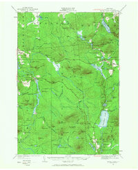
1921 Map of Santa Clara
USGS Topo · Published 1968About this map
Santa Clara and Duane Center serve as the primary hubs in this northern section of the Adirondack Park, where the late nineteenth-century logging and rail economy is clearly etched into the terrain. The presence of the Brooklyn Cooperage RR and the New York Central and Hudson River RR indicates a landscape heavily utilized for timber transport, connecting isolated camps and mills to wider markets. Industrial history is further evidenced by Furnace Mtn and Orebed Mtn, suggesting mineral extraction alongside the dominant forest industries.
Find a feature on this map
129 named features on this map. Tap any name to fly to it.
Don’t see what you’re looking for? This feature index may not catch every label — zoom into the map to look around manually.
Map Details
Editions of this 1921 Santa Clara Map
2 editions found

Other maps of this area

1902 · Saranac
USGS Topo · 1:62,500

1904 · Saranac
USGS Topo · 1:62,500

1905 · Saint Regis
USGS Topo · 1:62,500

1906 · Loon Lake
USGS Topo · 1:62,500

1908 · Loon Lake
USGS Topo · 1:62,500

1915 · Chateaugay
USGS Topo · 1:62,500

1915 · Malone
USGS Topo · 1:62,500

1915 · Moira
USGS Topo · 1:62,500

1917 · Malone
USGS Topo · 1:62,500

1917 · Moira
USGS Topo · 1:62,500