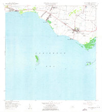
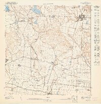
1960 Map of Santa Isabel
USGS Topo · Published 1962About this map
Agricultural haciendas and coastal settlements define this southern Puerto Rican landscape as it appeared in the mid-20th century. The town of Santa Isabel serves as a central hub, linked by roads like 1 and the local rail infrastructure at Estación Santa Isabel. The coastal economy is anchored by operations such as Central Cortada, while family-named estates like Hacienda Florida and Hacienda Alomar point to the area's deep-rooted agrarian history.
Find a feature on this map
42 named features on this map. Tap any name to fly to it.
Don’t see what you’re looking for? This feature index may not catch every label — zoom into the map to look around manually.
Map Details
Editions of this 1960 Santa Isabel Map
2 editions found
Other maps of this area

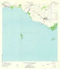
1944 · Santa Isabel
USGS Topo · 1:30,000

1945 · Playa De Ponce
USGS Topo · 1:30,000

1945 · Ponce
USGS Topo · 1:30,000

1945 · Rio Descalabrado
USGS Topo · 1:30,000

1945 · Salinas
USGS Topo · 1:30,000

1946 · Coamo
USGS Topo · 1:30,000
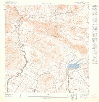
1947 · Rio Descalabrado SE
USGS Topo · 1:10,000
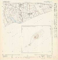
1947 · Playa De Ponce NE
USGS Topo · 1:10,000
1947 · Ponce SE
USGS Topo · 1:10,000
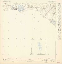
1947 · Santa Isabel NO
USGS Topo · 1:10,000