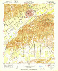
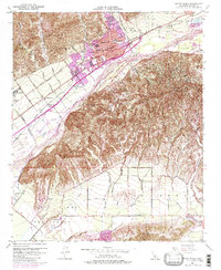
1951 Map of Santa Paula
USGS Topo · Published 1952About this map
Santa Paula serves as the focal point of this mid-century landscape, situated where Santa Paula Creek meets the Santa Clara River. The map illustrates a community shaped by its agricultural and industrial surroundings, with the Southern Pacific railroad corridor and the Santa Paula Airport framing the southern edge of the town center. The settlement patterns of Limon and Limoneira sit west of the city, flanked by numerous barrancas such as Haines Barranca and Middle Barranca that drain the northern foothills.
Find a feature on this map
55 named features on this map. Tap any name to fly to it.
Don’t see what you’re looking for? This feature index may not catch every label — zoom into the map to look around manually.
Map Details
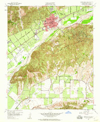
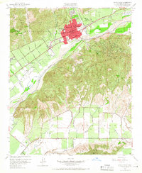
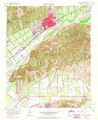
Editions of this 1951 Santa Paula Map
6 editions found

Other maps of this area

1900 · Triunfo Pass
USGS Topo · 1:62,500

1900 · Piru
USGS Topo · 1:62,500

1903 · Santa Paula
USGS Topo · 1:62,500

1903 · Camulos
USGS Topo · 1:125,000

1904 · Hueneme
USGS Topo · 1:62,500

1921 · Piru
USGS Topo · 1:62,500

1921 · Triunfo Pass
USGS Topo · 1:62,500

1941 · Piru
USGS Topo · 1:62,500

1942 · Santa Paula
USGS Topo · 1:62,500

1942 · Hueneme
USGS Topo · 1:62,500