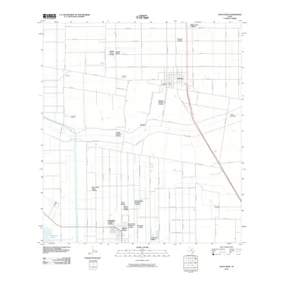
2010 Map of Santa Rosa
USGS Topo · Published 2010About this map
The agricultural landscape of Cameron County is defined by the complex water systems of the Willacy Canal and the wide North Floodway, which shape the environment surrounding Santa Rosa and Sebastian. This 2010 survey highlights a distinct settlement pattern characterized by numerous colonias, including Santa Rosa Number 9 Colonia, Tierra Bonita Colonia, and Yznaga Number 1 Colonia. These residential areas, often organized around family tracts like Zapata Ranch, reflect the region's specific housing and community development history.
Find a feature on this map
58 named features on this map. Tap any name to fly to it.
Don’t see what you’re looking for? This feature index may not catch every label — zoom into the map to look around manually.
Map Details
Editions of this 2010 Santa Rosa Map
This is the sole edition of this map. No revisions or reprints were ever made.
Other maps of this area

1929 · Harlingen
USGS Topo · 1:24,000

1929 · Santa Rosa
USGS Topo · 1:24,000

1929 · La Feria
USGS Topo · 1:24,000

1932 · Combes
USGS Topo · 1:31,680

1932 · Harlingen
USGS Topo · 1:31,680

1933 · Santa Rosa
USGS Topo · 1:31,680

1936 · La Feria
USGS Topo · 1:31,680

1953 · Brownsville
USGS Topo · 1:250,000

1956 · San Perlita South
USGS Topo · 1:24,000

1956 · Santa Rosa
USGS Topo · 1:24,000
Featured Places
- Santa Rosa, TX
- Sebastian, TX
- Zapata Ranch Colonia, TX
- Hugh Terry Colonia, TX
- Tierra Bonita Number 2 Colonia, TX