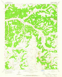
1963 Map of Santos Peak
USGS Topo · Published 1966About this map
Cereza Mesa and Santos Mesa dominate this high-desert landscape in Rio Arriba County, defined by a complex network of canyons and mesas typical of Northern New Mexico. The 1960s economy of the region is etched into the terrain through an extensive Gas Field and industrial infrastructure, including a prominent Pipeline and Pumping Sta. These energy developments exist alongside seasonal outposts such as Lowry Camp and Camp Ercan.
Find a feature on this map
23 named features on this map. Tap any name to fly to it.
Don’t see what you’re looking for? This feature index may not catch every label — zoom into the map to look around manually.
Map Details
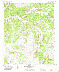
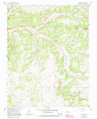
Editions of this 1963 Santos Peak Map
3 editions found
Other maps of this area

1889 · Largo
USGS Topo · 1:250,000

1895 · Largo
USGS Topo · 1:250,000

1954 · Aztec
USGS Topo · 1:250,000

1958 · Aztec
USGS Topo · 1:250,000

1959 · Gould Pass
USGS Topo · 1:62,500

1959 · Nageezi
USGS Topo · 1:62,500

1962 · Aztec
USGS Topo · 1:250,000

1963 · Lapis Point
USGS Topo · 1:24,000

1963 · Fourmile Canyon
USGS Topo · 1:24,000

1963 · Gobernador
USGS Topo · 1:24,000