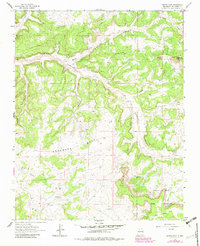
1963 Map of Santos Peak
USGS Topo · Published 1983About this map
Santos Mesa and the surrounding high plateaus of Rio Arriba County define this landscape during the mid-twentieth century. The area is characterized by deep drainage systems like Muñoz Canyon and Cereza Canyon, which carve through the prominent mesas. A significant portion of the southeastern territory belongs to the Jicarilla Apache Indian Reservation, where the terrain transitions toward B S Mesa.
Find a feature on this map
22 named features on this map. Tap any name to fly to it.
Don’t see what you’re looking for? This feature index may not catch every label — zoom into the map to look around manually.
Map Details
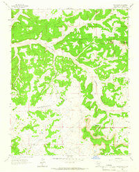
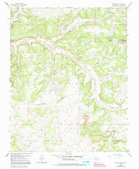
Editions of this 1963 Santos Peak Map
3 editions found
Other maps of this area

1889 · Largo
USGS Topo · 1:250,000

1895 · Largo
USGS Topo · 1:250,000

1954 · Aztec
USGS Topo · 1:250,000

1958 · Aztec
USGS Topo · 1:250,000

1959 · Gould Pass
USGS Topo · 1:62,500

1959 · Nageezi
USGS Topo · 1:62,500

1962 · Aztec
USGS Topo · 1:250,000

1963 · Lapis Point
USGS Topo · 1:24,000

1963 · Fourmile Canyon
USGS Topo · 1:24,000

1963 · Gobernador
USGS Topo · 1:24,000