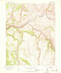
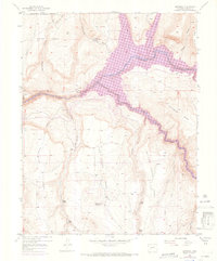
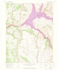
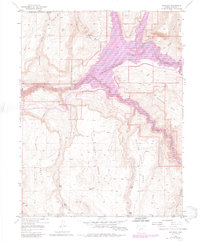
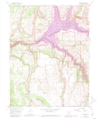
1954 Map of Sapinero
USGS Topo · Published 1956About this map
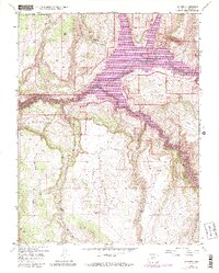
Gunnison River flows through the deep gorge of the Black Canyon in this mid-century survey of the high mesas. The small settlement of Sapinero and the Sapinero Ranger Sta are central landmarks, situated near the Sapinero Cemetery and an Abandoned roadway section that hints at the area's changing transportation corridor. The landscape is defined by massive plateau features like Soap Mesa, Sapinero Mesa, and Blue Mesa, which are dissected by steep gulches and creek beds.
Find a feature on this map
31 named features on this map. Tap any name to fly to it.
Don’t see what you’re looking for? This feature index may not catch every label — zoom into the map to look around manually.
Map Details
Editions of this 1954 Sapinero Map
10 editions found
Other maps of this area

1908 · Uncompahgre
USGS Topo · 1:125,000

1911 · Uncompahgre
USGS Topo · 1:125,000

1954 · West Elk Peak SW
USGS Topo · 1:24,000

1954 · Little Soap Park
USGS Topo · 1:24,000

1954 · Cebolla
USGS Topo · 1:24,000

1954 · Sapinero
USGS Topo · 1:24,000

1954 · Gateview
USGS Topo · 1:24,000

1956 · Curecanti Needle
USGS Topo · 1:24,000

1956 · Montrose
USGS Topo · 1:250,000

1957 · X Lazy F Ranch
USGS Topo · 1:24,000